
Dolmen du Camp de Seris, dolmen in Reynès, France
Location: Reynès
Elevation above the sea: 432.2 m
GPS coordinates: 42.50535,2.69016
Latest update: May 16, 2025 19:33
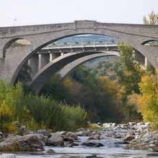
Pont du Diable
4.6 km
Musée d'Art moderne de Céret
5.3 km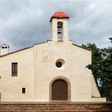
Ermitage de Saint-Ferréol
4.6 km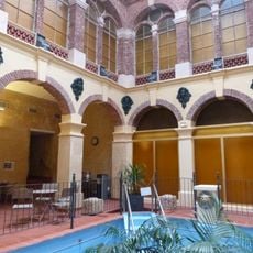
Vestiges des thermes romains d'Amélie-les-Bains-Palalda
4.3 km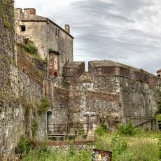
Fort-les-Bains
4.4 km
Army thermal hospital
4.1 km
Church of Saint Peter, Céret
5.3 km
Portal de France
5.2 km
Église Sainte-Marie du Vila
1.6 km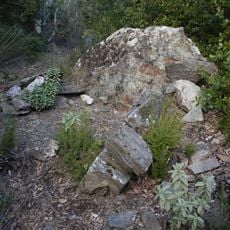
Caixa del Camp de l'Obra
2.9 km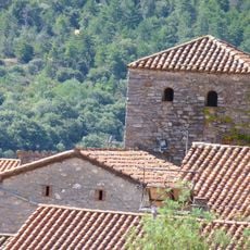
Église Saint-Martin de Palalda
2.6 km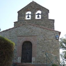
Notre-Dame-del-Roure, Taillet
1.1 km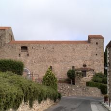
Église Saint-André de Montbolo
3.7 km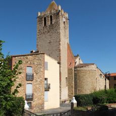
Église Saint-Jean de Oms
4.3 km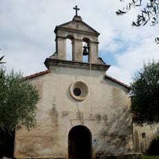
Chapelle Saint-Paul de Reynès
3.5 km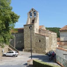
Église Saint-Valentin de Taillet
2.9 km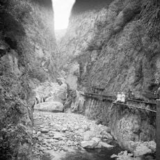
Gorges del Montdony
4.7 km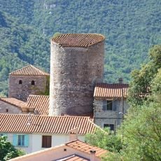
Castell de Palaldà
2.6 km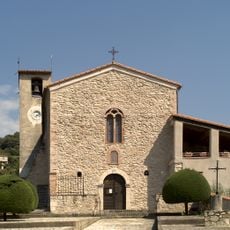
Église Saint-Vincent de Reynès
3.6 km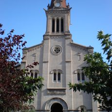
Église Saint-Quentin d'Amélie-les-Bains
4.1 km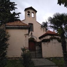
Capella de la Mare de Déu del Roser de Palaldà
2.6 km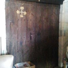
Chapelle Saint-Sébastien de Céret
4.6 km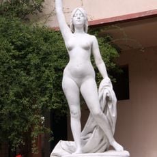
Truth coming out of a well
4.2 km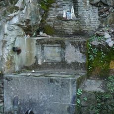
Font Sant Magí
4.5 km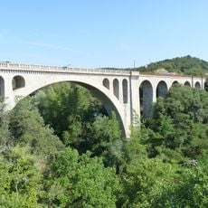
Railway bridge in Céret
4.5 km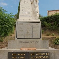
Oms war memorial
4.3 km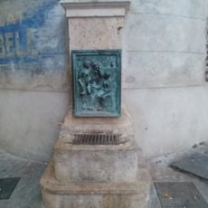
Villanove fountain
5.2 km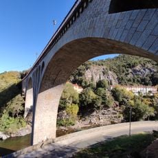
Viaduc ferroviaire Amélie-les-Bains
3.5 kmVisited this place? Tap the stars to rate it and share your experience / photos with the community! Try now! You can cancel it anytime.
Discover hidden gems everywhere you go!
From secret cafés to breathtaking viewpoints, skip the crowded tourist spots and find places that match your style. Our app makes it easy with voice search, smart filtering, route optimization, and insider tips from travelers worldwide. Download now for the complete mobile experience.

A unique approach to discovering new places❞
— Le Figaro
All the places worth exploring❞
— France Info
A tailor-made excursion in just a few clicks❞
— 20 Minutes