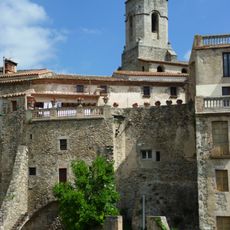
Puig del Torn, Mountain peak in Pyrénées-Orientales, France.
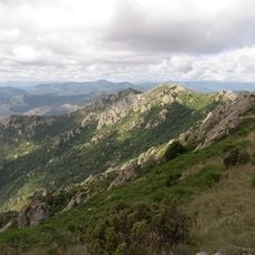
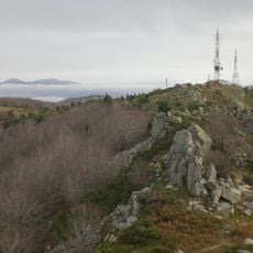
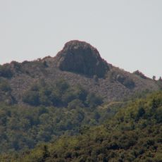
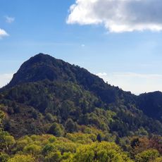
Puig del Torn is a mountain summit in Pyrénées-Orientales reaching 1,143 meters in elevation and marking the boundaries between three communes: Arles-sur-Tech, Amélie-les-Bains-Palalda, and Saint-Laurent-de-Cerdans. The peak features forested slopes that transition to exposed rocky areas near the top.
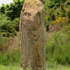
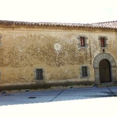
The summit served as a strategic boundary marker between France and Spain for centuries and functions as a survey point in the region. Historic border stones still dot the mountain paths, documenting the boundary's historic position.
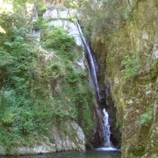
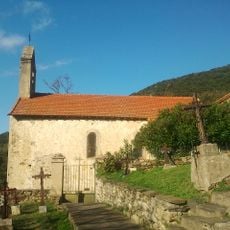
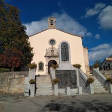
Local hiking groups maintain traditional pathways around the peak, preserving ancient routes that once connected mountain villages across the Pyrenees. These trails remain accessible to visitors and show how people have used this mountain region for generations.
The trail starts from Coll de Banyuls and follows well-marked paths for about 6 kilometers to reach the summit, typically taking three hours. Bring sturdy footwear and water, as the upper sections offer little shade and sun exposure can be intense.
Yellow trail markers guide walkers through the different terrain types found on the mountain, from dense forest to open rock sections. These colored marks help visitors stay oriented while exploring less-traveled routes around the peak.
The community of curious travelers
AroundUs brings together thousands of curated places, local tips, and hidden gems, enriched daily by 60,000 contributors worldwide.