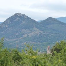
Puig de Taravaus, Mountain summit in Banyuls-sur-Mer, France
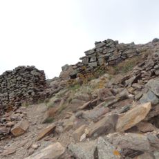
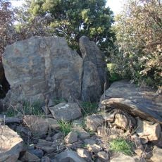
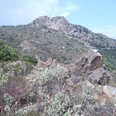
Puig de Taravaus is a mountain summit reaching 617 meters high in southern France near the Mediterranean coast. Established trails connect the peak to the surrounding terrain, offering hikers a defined path to the top.
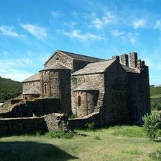
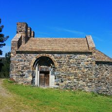
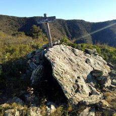
For centuries, this mountain marked the natural boundary between France and Spain, serving as a reference point for local communities. The border drawn through this location shaped how people on both sides understood their territories and identities.
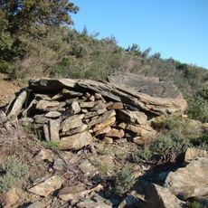
The trails on this mountain show how French and Spanish hiking traditions come together in the border region. Local people have walked these paths for generations, using them to connect with the landscape and with each other across cultural lines.
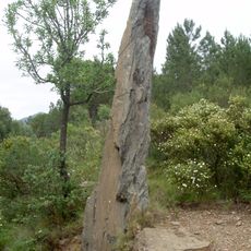
Hikers need sturdy footwear, weather-appropriate clothing, and a detailed map or GPS device to navigate the trails safely. Weather can change quickly at elevation, so it is wise to start early and plan to return before dark.
On clear days, visitors from the summit can see the Mediterranean Sea and distant Pyrenean peaks, showing how this spot sits between sea and mountains. This view explains why locals have long used this peak to navigate their position in the landscape.
The community of curious travelers
AroundUs brings together thousands of curated places, local tips, and hidden gems, enriched daily by 60,000 contributors worldwide.