Enable Location

We need your location to show you interesting places around you

Discover nearby places

Find interesting locations and hidden gems around you

Precise directions

Get accurate directions and distances to places

Your location is never shared with other users. It's only used when you tap the location button.

Log in to your account

Start exploring — it's free

Trusted by 66,007 travelers worldwide

Continue with Google
Continue with Apple
or

We will send you a code to connect

By continuing, you accept our Terms and Conditions and our Privacy Policy

Check your inbox

We've sent a pincode in your inbox. Please enter the code below.

Cabeza de las Entenes
Discussion Reviews Photo
30+ Popularity

Cabeza de las Entenes, Mountain summit in Occitanie, France

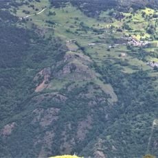
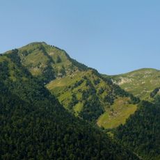
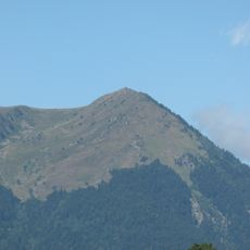
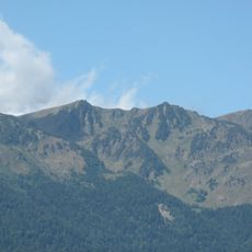
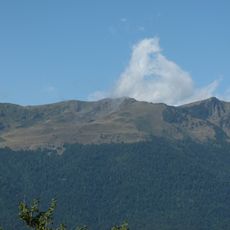
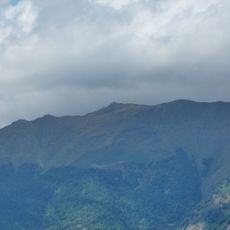
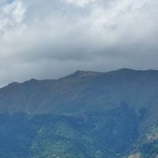
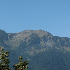
Cabeza de las Entenes is a mountain summit in the French Pyrenees that rises to about 1,776 meters. The peak sits along a ridge with open views of the surrounding mountain ranges and valleys.

The summit appears in historical records under various names such as Cap de las Entenes and Tuc du Plan de la Serre, reflecting the linguistic heritage of the border region. This naming tradition shows how long the area has been shared between different cultural spheres.

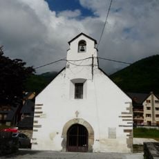
The mountain stands as a natural boundary marker within the Occitanie region, connecting local communities through shared geographical references and outdoor traditions.

Check the weather forecast before planning a visit, especially during colder months when snow and frost are common on the heights. The trails are easiest to navigate in dry conditions, as slopes become slippery when wet.

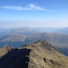
From this peak you can hike to nearby summits like Alto de la Trona and Col de l'Artiguette, which are within easy walking distance. The connections between these heights create a rewarding loop trek with changing views as you move along the ridges.

The community of curious travelers

AroundUs brings together thousands of curated places, local tips, and hidden gems, enriched daily by 60,000 contributors worldwide.

Start exploring
Elevation above the sea
1,776 m
GPS coordinates
42.75000,0.65000
Latest update
December 15, 2025 13:25
Reviews
Share your experience

No review yet

Discussions
Start a discussion...

No discussion yet

« Cabeza de las Entenes - Mountain summit in Occitanie, France » is provided by Around Us (aroundus.com). Images and texts are derived from Wikimedia project under a Creative Commons license. You are allowed to copy, distribute, and modify copies of this page, under the conditions set by the license, as long as this note is clearly visible.

Discover hidden gems everywhere you go!

From secret cafés to breathtaking viewpoints, skip the crowded tourist spots and find places that match your style. Our app makes it easy with voice search, smart filtering, route optimization, and insider tips from travelers worldwide. Download now for the complete mobile experience.

Around Us App Screenshot

A unique approach to discovering new places

Le Figaro

All the places worth exploring

France Info

A tailor-made excursion in just a few clicks

20 Minutes

Around Us
Travel Guide & Maps
Download

Send to your phone

QR Code
1

Open the camera app on your mobile.

2

Point at the QR code with your camera. A notification will appear.

3

Tap the notification to open the link.