Puig dels Pinyers, Mountain summit in the eastern Pyrenees, France
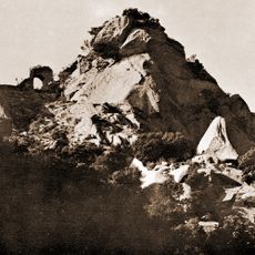
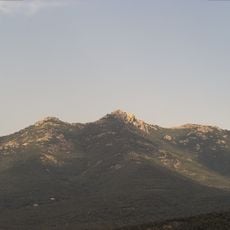
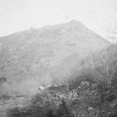
Puig dels Pinyers is a mountain summit in the eastern Pyrenees that rises to 852 meters. The peak displays prominent granite outcrops surrounded by pine forests and alpine vegetation across its slopes.
The peak has served as the natural boundary between France and Spain since the Treaty of the Pyrenees in 1659. This border definition has remained stable across the centuries.
Local shepherds have maintained traditional livestock practices in the surrounding valleys, contributing to the preservation of mountain pastures.
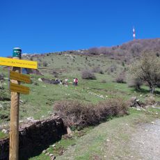
Marked hiking trails lead from the D71 road to the summit, with parking areas situated about three kilometers from Le Perthus. The trails are most accessible during warmer months and require basic mountain hiking experience.
Trails from this summit connect to Coll Forcadell and provide easy access to neighboring peaks within the Albera Massif. These connections make the peak a key junction point for mountain trekkers exploring the surrounding terrain.
The community of curious travelers
AroundUs brings together thousands of curated places, local tips, and hidden gems, enriched daily by 60,000 contributors worldwide.