Punta di Malamatina, Mountain summit in Corsica, France
Punta di Malamatina is a mountain summit in northern Corsica that rises to about 614 meters above the surrounding terrain. The peak sits at the center of a network of hiking trails that connect pastoral meadows and link different parts of the inland landscape.
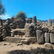
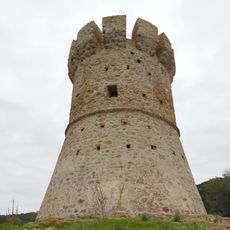
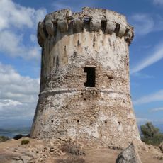
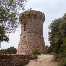
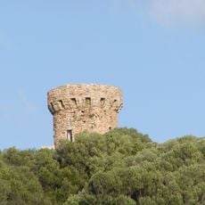
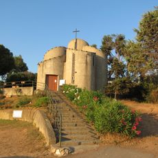
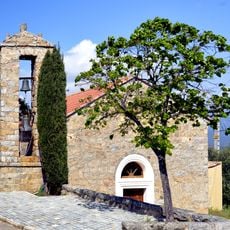
The area gained military importance in the late 1800s when fortifications were built at strategic points around the peak. These structures reflect how Corsica was affected by territorial conflicts that shaped the island's past.
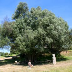
The summit serves as a landmark that locals have used for centuries to navigate the pastoral lands around it. You can sense this connection to the land when you walk through the surrounding meadows and shepherd paths.
The hike begins on marked trails that start from multiple points in the surrounding area and typically takes about three hours to reach the top. Sturdy hiking boots and plenty of water are essentials for managing the climb comfortably.
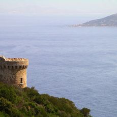
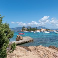
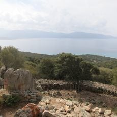
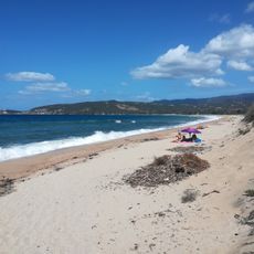
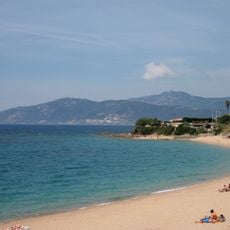
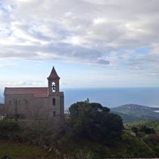
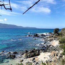
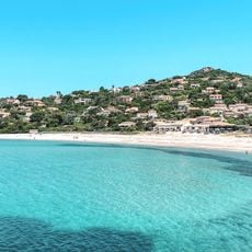
On clear days, the summit offers views toward both the Mediterranean Sea and the inland valleys stretching across Corsica. This double vista is uncommon because most nearby peaks only show one direction clearly.
The community of curious travelers
AroundUs brings together thousands of curated places, local tips, and hidden gems, enriched daily by 60,000 contributors worldwide.