Les Sables-d'Olonne, Coastal administrative division in Vendée, France
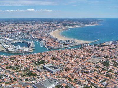
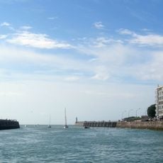
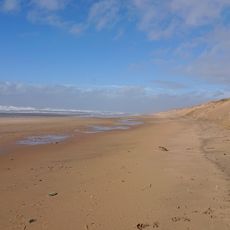
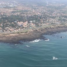
Les Sables-d'Olonne is an administrative unit on the Atlantic coast in the Vendée department, bringing together a fishing harbor, residential areas, and several beaches along a stretch of shoreline about seven and a half miles long. The harbor zone divides two beach sections, and behind the waterfront promenade narrow streets with shops, restaurants, and homes extend inland toward wooded hills.
A regional nobleman founded the harbor settlement in the early 13th century to encourage trade and fishing along the coast. Four centuries later, the port grew into one of France's leading centers for cod fishing on the Grand Banks, until the decline of that tradition in the 20th century brought tourism as a new economic base.
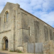
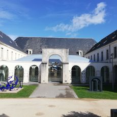
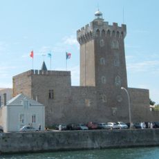
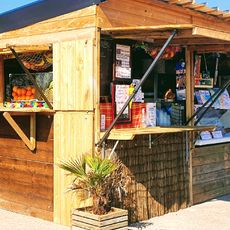
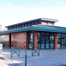
The old castle of Saint-Clair houses maritime objects and paintings from past centuries, while the covered market serves as a daily meeting spot where locals gather to buy fish and regional produce. Sailboats in the harbor often carry the names of famous round-the-world sailors, and the cafés along the waterfront display photographs of captains who set sail from here on long ocean voyages.
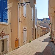
Trains from the capital reach the station several times a day, and from there short walks or local buses connect to the different neighborhoods and beaches. The beachfront promenades are flat and wide enough for strollers and wheelchairs, while the lanes in the older quarter sometimes involve steep climbs and cobblestones.
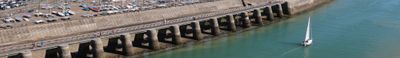
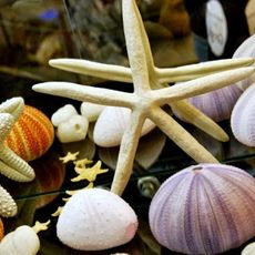
A long seawall carries painted shell patterns and small scenes from fishermen's daily life across several hundred yards, added by residents over decades. This mosaic promenade along the water remains walkable even at high tide, and each season new motifs appear between the older sections.
The community of curious travelers
AroundUs brings together thousands of curated places, local tips, and hidden gems, enriched daily by 60,000 contributors worldwide.