Cadières de Brandis

Log in to your account

AroundUs is a community-driven map of interesting places, built by curious explorers like you. It grows with every review, story, and photo you share.
Connect to save your favorite spots, contribute locations, and create personalized routes.
By continuing, you accept our Terms and Conditions and our Privacy Policy

Cadières de Brandis

Add to collection
Map
Suggest a change
Share

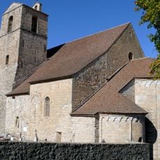
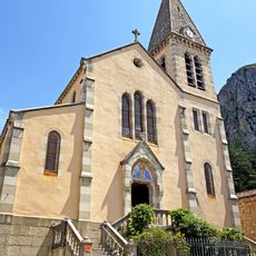
Cadières de Brandis, mountain

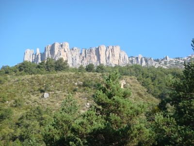
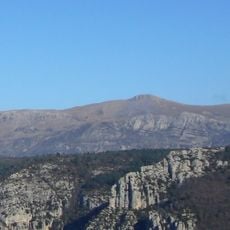
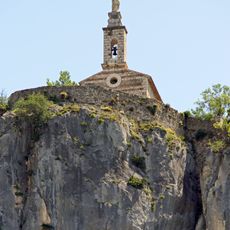
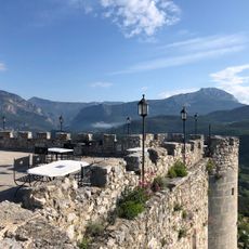
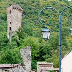
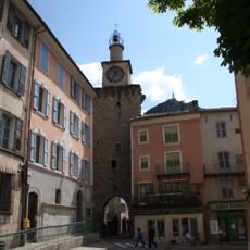
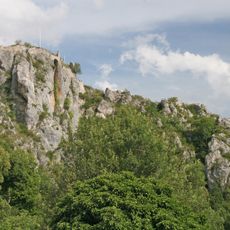
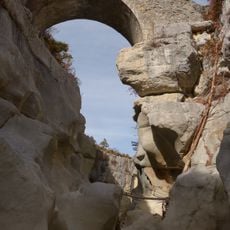
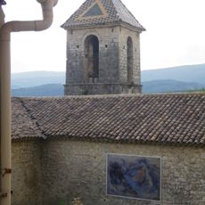
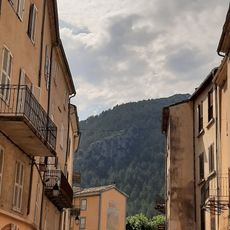
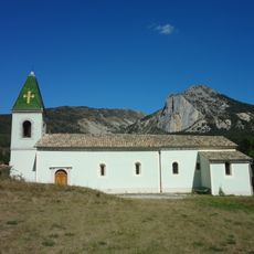
The Cadières de Brandis form a cliff face rising above the village of Castellane in the Alpes-de-Haute-Provence, characterized by vertical limestone flanks. The cliff makes up a prominent section of the mountain range and offers exposed rock walls popular with climbers.

The name comes from Provençal and refers to the steep rocks that have shaped the valley for centuries. The cliff once served as a landmark for travelers passing through the region.

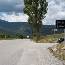
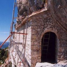
The cliff is visible from Castellane and can be reached via trails that wind through scrubland and rocky terrain. Those visiting the area in summer should set out early in the morning to avoid the heat.

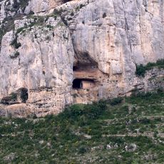
On certain days, birds of prey can be seen circling along the rock face, where they build their nests. The view from higher points extends deep into the valley and reveals the winding roads that snake through the mountains.

Location: Castellane

Elevation above the sea: 1,626 m

Address: 04120 Castellane, France

GPS coordinates: 43.84757,6.44469

Latest update: December 5, 2025 10:57

Hiking along the French Riviera: Coastal paths between Nice and Monaco, from Cap d'Ail to the Gorges du Verdon

Between Nice and Monaco, coastal trails provide the opportunity to explore the Mediterranean coastline through various routes. The Cap d'Ail Coastal Path, Nietzsche's Path in Èze with 400 meters of elevation gain, and the Mont Boron Park in Nice with its 11 kilometers of marked trails allow exploration of the region from different perspectives. These routes alternate between seaside sections and uphill segments, offering views over the coast and inland areas. The geological diversity of the region is evident in the limestone cliffs lining the Route des Crêtes between La Ciotat and Cassis, the rock formations of Cap d'Ail, and the red rocks of the Esterel Massif. Further inland, the Verdon Gorges feature a canyon 700 meters deep, while the Mercantour National Park houses the Sentier des Géants within its ancient forest. The historical heritage marks these routes: the Nice Observatory on Mont Gros dates from the 19th century, Fort La Revere overlooks the coast from 696 meters altitude, and Saint-Honorat Island preserves its active monastery. These trails serve as direct accesses to the nature and history of the French Riviera.

Reviews

Visited this place? Tap the stars to rate it and share your experience / photos with the community! Try now! You can cancel it anytime.

« Cadières de Brandis - mountain » is provided by Around Us (aroundus.com). Images and texts are derived from Wikimedia project under a Creative Commons license. You are allowed to copy, distribute, and modify copies of this page, under the conditions set by the license, as long as this note is clearly visible.

Discover hidden gems everywhere you go!

From secret cafés to breathtaking viewpoints, skip the crowded tourist spots and find places that match your style. Our app makes it easy with voice search, smart filtering, route optimization, and insider tips from travelers worldwide. Download now for the complete mobile experience.

Around Us App Screenshot

A unique approach to discovering new places

Le Figaro

All the places worth exploring

France Info

A tailor-made excursion in just a few clicks

20 Minutes