Quai Perrache, Riverfront in 2nd arrondissement of Lyon, France
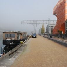
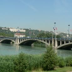
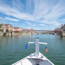
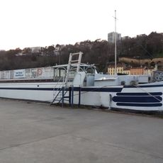
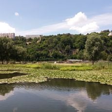
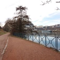
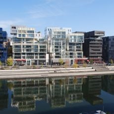
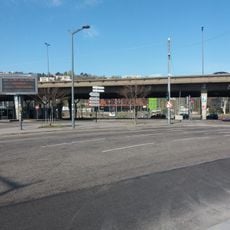
Quai Perrache runs along the right bank of the Rhône in Lyon's 2nd arrondissement, from the end of Quai Gailleton at Pont Galliéni south to Pont de la Mulatière and the Saône confluence. It is a paved roadway with two-way traffic, edged by a low stone embankment; near the water a small white building with a dark blue roof sign stands by a gravel car park, and riverboats moor alongside.
The road was successively called cours Perrache from 1830 to 1837 and chaussée Perrache from 1837 to 1890, when the municipal council gave it its present name on 9 May 1890. In 1857-1858 the roadway was replaced by a quay with two double access ramps, at the level of the Lyon-Saint-Étienne railway landing stage and the slaughterhouses between cours Bayard and rue Casimir-Perrier. Since 1971 the A7 motorway has run alongside it.
The quay takes its name from Antoine Michel Perrache, the engineer and sculptor born in Lyon in 1726 who proposed moving the confluence of the Rhône and Saône downstream in the 1760s and 1770s. It was called cours Perrache from 1830 to 1837, then chaussée Perrache until 1890, when the municipal council gave it its present name on 9 May 1890.
The area is well served by public buses and offers parking options for vehicles. Visitors should be prepared for open-air conditions, as the waterfront lacks shelter from wind and weather.
The quai ends at the confluence of the Saône and the Rhône, facing the Musée des Confluences, which opened in December 2014 after years of delay and at five times its planned cost. It soon became the most visited museum in Lyon and the Auvergne-Rhône-Alpes region.
The community of curious travelers
AroundUs brings together thousands of curated places, local tips, and hidden gems, enriched daily by 92,939 contributors worldwide.