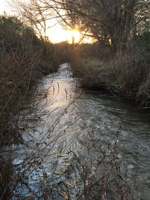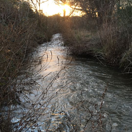
Grand Campagnolle, Brook and culvert in Gard, France
Grand Campagnolle is a brook in Gard that runs through a culvert beneath a road crossing before continuing in an open channel. The watercourse drains a small catchment of the surrounding hills and carries seasonal flow, low in summer and higher after autumn and winter rain. Its bed is cut into the local limestone and marl, and the banks are lined with riparian scrub.
The Grand Campagnolle rises in the garrigue hills above the Gard plain and has long drained farmland around it. In the 19th and 20th centuries, sections were covered and piped to free land for cultivation and to carry roads and tracks over the stream. The open stretches and the buried culverts visible today are the result of that piecemeal work.
The name Campagnolle comes from the Occitan campanha, referring to open farmland, and the brook still drains fields around the hamlet of the same name. Its water historically fed irrigation channels and, in places, small mills. Today walkers follow it as a landmark between cultivated plots and garrigue.
The brook runs through the Gard countryside near the coordinates 43.75244, 4.40702, where open channel and buried culvert sections alternate. Paths along the banks give access to the open stretches; the buried parts are not visible from the surface. Water levels rise after rain in the Cévennes, so check conditions before walking the banks.
The system shows how engineered passages and natural habitats can coexist without completely replacing each other in the landscape. Visitors can observe at certain points where water emerges from underground sections and reconnects with open channels.
The community of curious travelers
AroundUs brings together thousands of curated places, local tips, and hidden gems, enriched daily by 93,247 contributors worldwide.