Chest opened
+${chestReward.xp} XP
Explorer
NOUVEAU ×${chestReward.collectible.quantity}
tapez pour fermer
Chest locked

Open chests in the app

Around Us is built for your phone — chests unlock when you walk, explore and capture nearby places.

Enable Location

We need your location to show you interesting places around you

Discover nearby places

Find interesting locations and hidden gems around you

Precise directions

Get accurate directions and distances to places

Your location is never shared with other users. It's only used when you tap the location button.

Sentier de grande randonnée 169

Log in to your account

Start exploring — it's free

Trusted by 73,078 travelers worldwide

Continue with Google
Continue with Apple
or

We will send you a code to connect

By continuing, you accept our Terms and Conditions and our Privacy Policy

Check your inbox

We've sent a pincode in your inbox. Please enter the code below.

Sentier de grande randonnée 169
Discussion Reviews 1 Photos
1.4k Popularity

Sentier de grande randonnée 169, sentier de grande randonnée en France

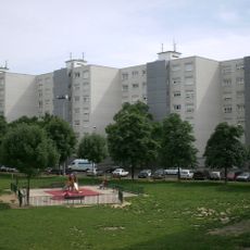
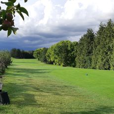
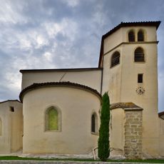
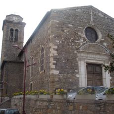
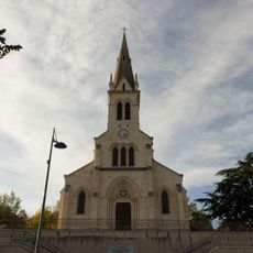
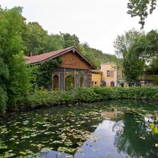
The sentier de grande randonnee 169 is a hiking trail spanning roughly 170 kilometers around the Lyon area, marked by the French Hiking Federation with white and red signs. The path connects southern and northern municipalities while passing through forests, river valleys along the Rhone and Saone, rolling hills, and farmland, with several large parks distributed along the route.

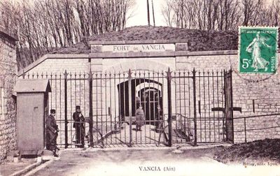
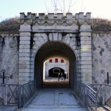
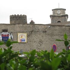
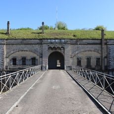
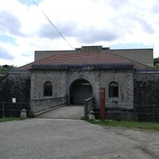
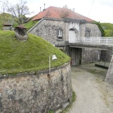
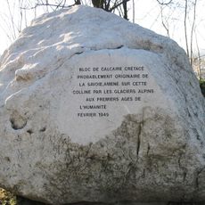
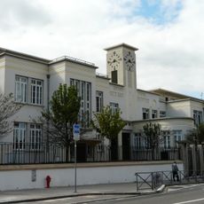
The trail was created by the French Hiking Federation with support from local government and passes near 12 forts built between 1871 and 1891 as part of a defense system for Lyon. These fortifications shape the path and provide insight into the region's past.

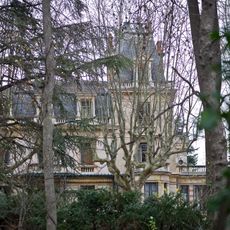
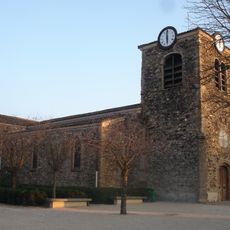
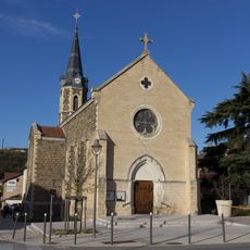
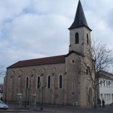
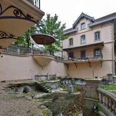
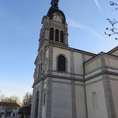
The trail connects people with the landscape surrounding Lyon and is used by walkers to discover the region beyond the city. It passes through villages and parks where locals and visitors alike move through nature and experience the diverse surroundings of the metropolis.

The path is well marked with white and red signs and can be walked year-round, though preparation varies by season. After heavy rain, some sections may become muddy, and during warm weather it is wise to start early and bring plenty of water.

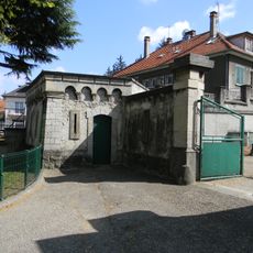
The trail passes through several historical forts such as Fort Vancia in Rillieux-la-Pape, where hikers can explore 19th-century defense structures while enjoying the surrounding landscape. This combination lets visitors experience history and nature simultaneously without needing lengthy stops.

The community of curious travelers

AroundUs brings together thousands of curated places, local tips, and hidden gems, enriched daily by 60,000 contributors worldwide.

Start exploring
GPS coordinates
45.66520,4.85317
Latest update
February 9, 2026 08:18
Reviews
Share your experience

No review yet

Discussions
Start a discussion...

No discussion yet

« Sentier de grande randonnée 169 - sentier de grande randonnée en France » is provided by Around Us (aroundus.com). Images and texts are derived from Wikimedia project under a Creative Commons license. You are allowed to copy, distribute, and modify copies of this page, under the conditions set by the license, as long as this note is clearly visible.

Discover hidden gems everywhere you go!

From secret cafés to breathtaking viewpoints, skip the crowded tourist spots and find places that match your style. Our app makes it easy with voice search, smart filtering, route optimization, and insider tips from travelers worldwide. Download now for the complete mobile experience.

Around Us App Screenshot

A unique approach to discovering new places

Le Figaro

All the places worth exploring

France Info

A tailor-made excursion in just a few clicks

20 Minutes

Around Us
Travel Guide & Maps
Download

Send to your phone

QR Code
1

Open the camera app on your mobile.

2

Point at the QR code with your camera. A notification will appear.

3

Tap the notification to open the link.