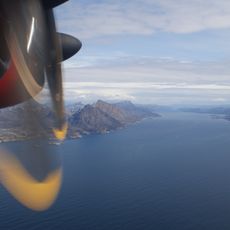
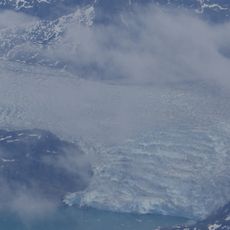
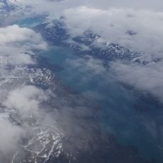
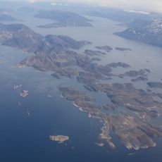
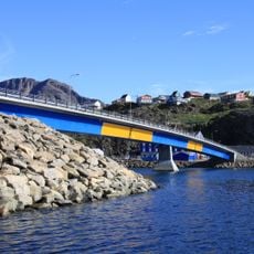
Kangerlussuaq Fjord, Fjord in Qeqqata, Greenland.
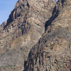
Kangerlussuaq Fjord runs 165 km southwest from the Qinnguata Kuussua estuary to Davis Strait, between 1.5 and 5 km wide; some sources give 190 km. It has no tributary fjords and a fairly uniform coastline, with Kangaamiut dike swarm hills such as Tarajornitsut inland and steep ranges near the mouth. Near the head, meltwater silt turns the water emerald and forms quicksand patches.
Excavations at Angujaartorfik on the inner fjord show prehistoric settlement by the Saqqaq culture, with later Thule culture remains also found. No dwelling places existed along the fjord in colonial times. In 1941 the United States built Bluie West Eight airfield at the fjord head, later Sondrestrom Air Base and today Kangerlussuaq Airport, around which the village of Kangerlussuaq grew.
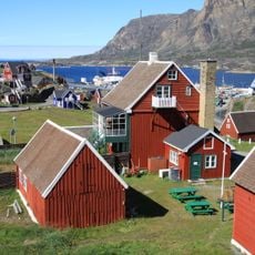
The name Kangerlussuaq means "Great Fjord" in Greenlandic, and the Danish name Søndre Strømfjord is still used. The only settlement on its shores is the village of Kangerlussuaq at the head of the fjord, which grew around the airport. The fjord marks the boundary between the districts of Sisimiut and Maniitsoq.
The fjord remains accessible year-round via Kangerlussuaq Airport, which serves as the main gateway for visitors to the region. Summer offers the most favorable conditions for travel and activities.
The emerald colour of the water near the fjord head comes from alluvial sediments carried by the Qinnguata Kuussua. Silt builds up at the river estuary into patches of quicksand that reach up to a kilometre into the fjord.
The community of curious travelers
AroundUs brings together thousands of curated places, local tips, and hidden gems, enriched daily by 94,048 contributors worldwide.