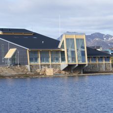
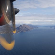
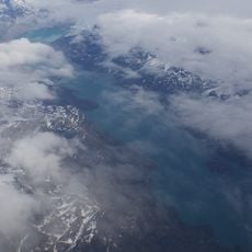
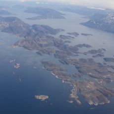
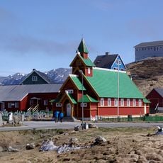
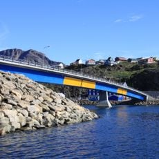
Nuup Kangerlua, Arctic fjord in Sermersooq, Greenland.
Nuup Kangerlua is a 160 km (99.4 mi) fjord in the Sermersooq municipality of southwestern Greenland, formerly called Godthåb Fjord, Gilbert Sound and Baal's River. It begins as an icefjord where two glaciers drain the Greenland ice sheet into the water, runs northwest and then southwest, and splits into three arms in its lower course. Three large mountainous islands lie between the arms: Sermitsiaq Island, Qeqertarsuaq Island and Qoornuup Qeqertarsua Island. Near its mouth it widens into a bay dotted with skerries, opening into the Labrador Sea near the former Kangeq settlement.
The fjord was long known in Danish as Godthåbsfjorden, a colonial name it bore until the Greenlandic name Nuup Kangerlua was adopted. The present capital, Nuuk, grew near its mouth, while the settlement of Kapisillit was established 75 km northeast of Nuuk near the head of the tributary Kapisillit Kangerluaq. The sources record no Norse medieval use of the fjord.
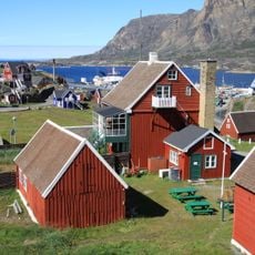
The small settlement of Kapisillit sits near the inner end of the fjord, where fishing remains a central part of daily life. Locals travel the waterways by boat as a matter of routine, not recreation.
Boat trips from Nuuk are the main way to explore the fjord, with tours running throughout the year. Temperatures stay cold even in summer, so warm and waterproof layers are worth bringing regardless of the season.
At the inner end of the fjord, two glaciers from the Greenland ice sheet flow directly into the water, breaking off ice as they go. The resulting icebergs drift through the inner basins and change the look of the water from one visit to the next.
The community of curious travelers
AroundUs brings together thousands of curated places, local tips, and hidden gems, enriched daily by 94,308 contributors worldwide.