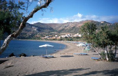
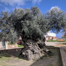
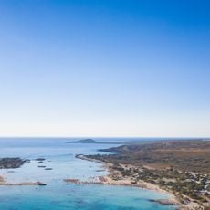
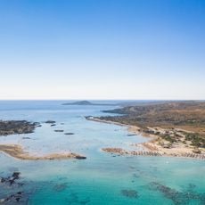
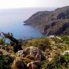
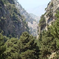
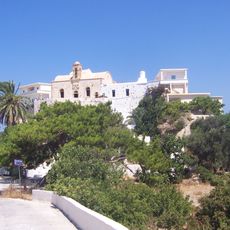
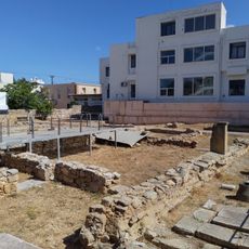
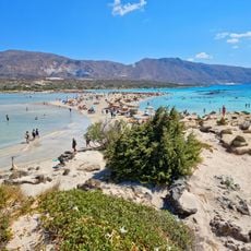
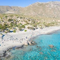
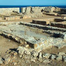
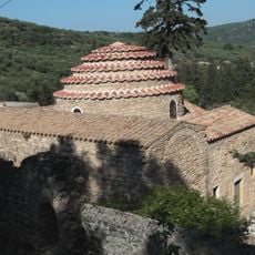
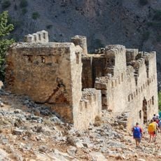
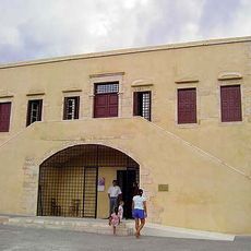
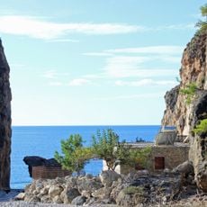
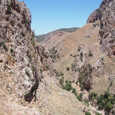
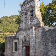
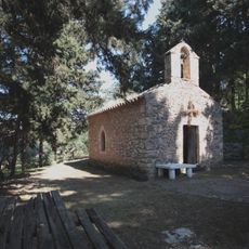
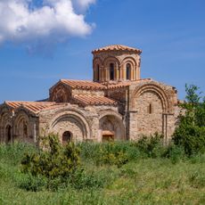
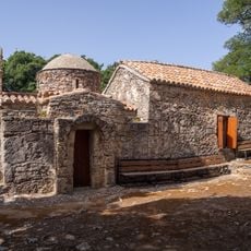
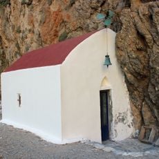
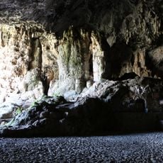
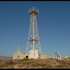
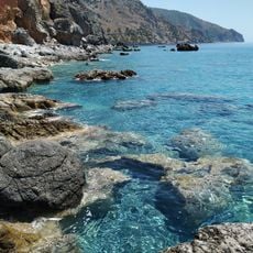
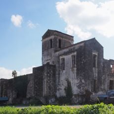
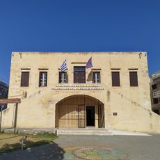
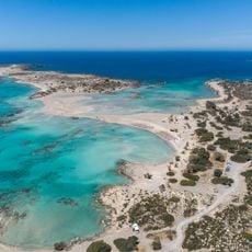
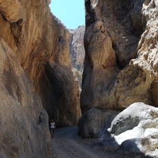
Kantanos-Selino Municipality, municipality in Crete, Greece
Location: Chania Regional Unit
Capital city: Palaiochora
Shares border with: Kissamos Municipality, Platanias Municipality, Sfakia Municipality
GPS coordinates: 35.29888,23.73096
Latest update: March 3, 2025 02:12
Samariá Gorge National Park
21.2 km
Olive tree of Vouves
21.5 km
Elafonisi
18.3 km
Elafonisi Beach
17.5 km
Lissos
8.2 km
Agia Eirini Gorge
9.4 km
Chrysoskalitissa Monastery
18 km
Kisamos ancient city
22.6 km
Elafonisi lagoon
17.5 km
Kedrodasos Beach
15.7 km
Castle of Paleochora
9 km
Church of Archangel Michael
21.6 km
Agia Roumeli Fort
22.1 km
Archaeological museum of Kissamos
23 km
Tripiti Canyon
14.6 km
Topolia Gorge
14 km
Ιερός Ναός Αγίου Ιωάννου του Προδρόμου στα Δελιανά Κισάμου
16.4 km
Church of Panagia
24 km
Church of Zoodochou Pigis, Alikiano Kydonias
23.9 km
Sotiros Christou church
2.3 km
Gorja de Tripití
14.2 km
Cave of Agia Sophia Topolia
12.9 km
Elafonisi Lighthouse
19.1 km
Tripiti
14.7 km
Metochi Isychaki
23.7 km
Building of Archaeological Museum of Kisamos
23 km
Nisos Elafonisos Kai Paraktia Thalassia Zoni
18.5 km
Tripiti gorge
14.4 kmVisited this place? Tap the stars to rate it and share your experience / photos with the community! Try now! You can cancel it anytime.
Discover hidden gems everywhere you go!
From secret cafés to breathtaking viewpoints, skip the crowded tourist spots and find places that match your style. Our app makes it easy with voice search, smart filtering, route optimization, and insider tips from travelers worldwide. Download now for the complete mobile experience.
A unique approach to discovering new places❞
— Le Figaro
All the places worth exploring❞
— France Info
A tailor-made excursion in just a few clicks❞
— 20 Minutes