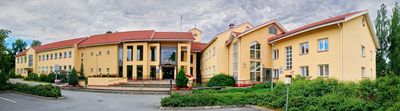
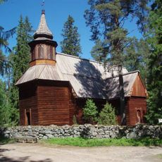
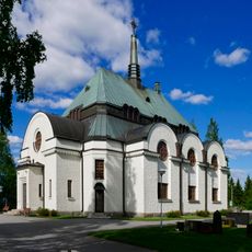
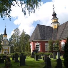
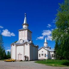
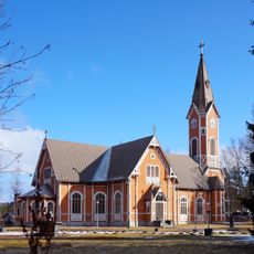
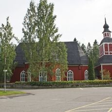
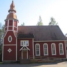
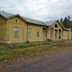
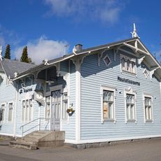
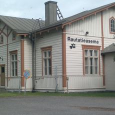
Ähtäri, town in the region of Southern Ostrobothnia in Finland
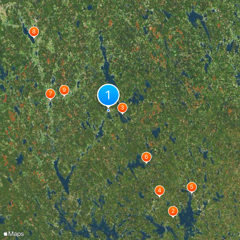
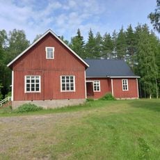
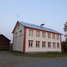
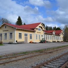
Ähtäri is a municipality in South Ostrobothnia, located in central western Finland. The town sits within a landscape of forests and lakes, serving as a local administrative center for the surrounding rural area.
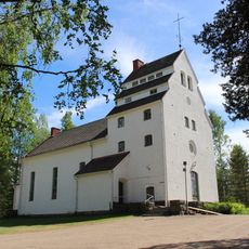
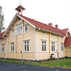
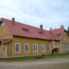
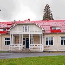
Ähtäri developed as a settlement and became an administrative center during the 19th century. The area has maintained its role as a local hub for the surrounding region throughout the modern era.
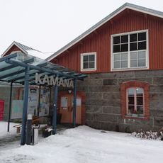
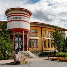
The town is easily accessible by road and offers typical services found in a small Finnish municipality. Visitors can find local shops, dining options, and accommodations to support their time in the area.
The community of curious travelers
AroundUs brings together thousands of curated places, local tips, and hidden gems, enriched daily by 60,000 contributors worldwide.