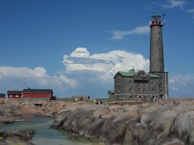
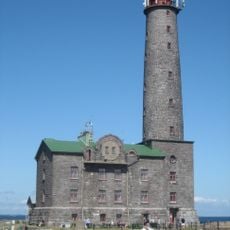
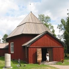
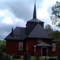
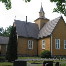
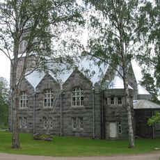
Kimitoön, municipality in the region of Southwest Finland, Finland
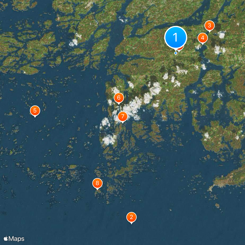
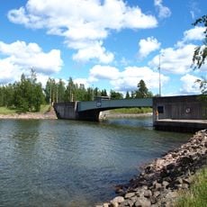
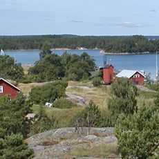
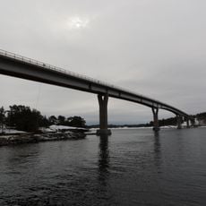
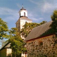
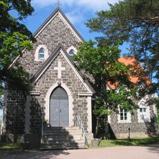
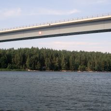
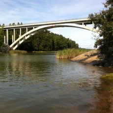
Kimitoön is a municipality in Southwest Finland that spans across multiple islands and coastal areas. The region comprises an archipelago with numerous smaller islands, bays, and a sparsely populated mainland featuring forests and agricultural land.
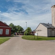
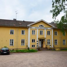
Kimitoön formed as a municipality through the merging of smaller settlements that relied on fishing and agriculture for centuries. The region developed as an important point along the Finnish coast with its own local history and administration.
The place is accessible by road and occasionally by local ferries since the islands are scattered across the area. The best time to visit is summer when the weather is mild and roads are clear of snow and ice.
The community of curious travelers
AroundUs brings together thousands of curated places, local tips, and hidden gems, enriched daily by 60,000 contributors worldwide.