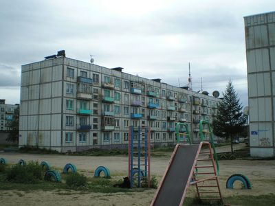
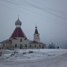
Alakurtti, human settlement in Kandalakshsky District, Murmansk Oblast, Russia
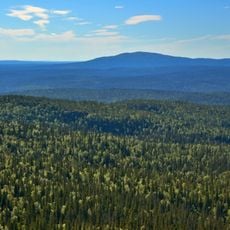
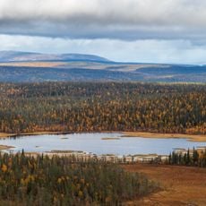
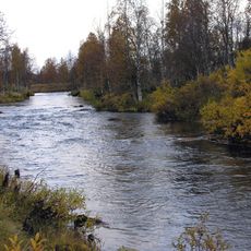
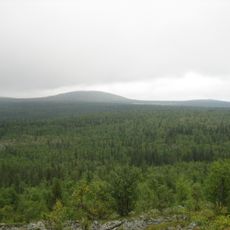
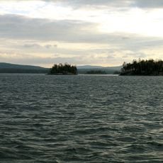
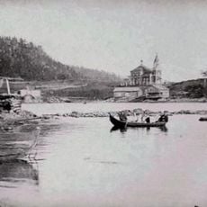
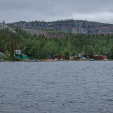
Alakurtti is a small village in the Murmansk region of Russia, sitting close to the Finnish border and surrounded by boreal forest and open marshland. The buildings are spread loosely across the land, with no dense center, giving the settlement a sparse and open feel.
The settlement was part of Finnish territory and home to a Finnish-speaking community until the end of World War II, when it passed to Soviet control. The population was then displaced, and the village took on a new identity under Soviet administration.
The name Alakurtti comes from Sami roots, pointing to the indigenous people who lived across this region long before any national borders were drawn. Walking through the settlement, you can notice how place names in the area still carry traces of that older language.
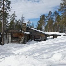
Alakurtti sits in a border zone subject to access restrictions, so it is worth checking entry requirements well before any visit. Facilities in the area are very basic, and travelers should come prepared for remote conditions with limited services.
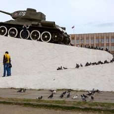
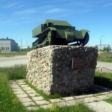
An active Russian military base operates in and around Alakurtti, making it one of the few civilian settlements that coexists directly alongside a functioning military installation on a NATO border. This presence shapes what visitors can and cannot see when moving through the area.
The community of curious travelers
AroundUs brings together thousands of curated places, local tips, and hidden gems, enriched daily by 60,000 contributors worldwide.