Nuorunen, Mountain summit in Republic of Karelia, Russia
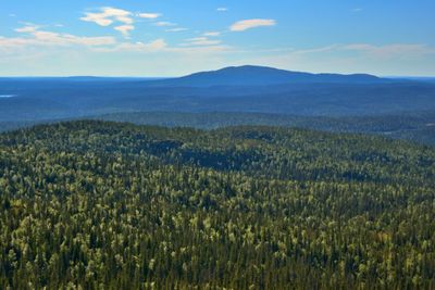
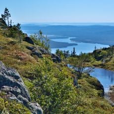
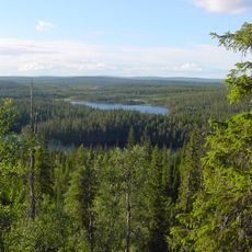
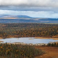
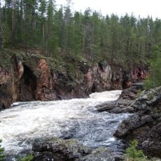
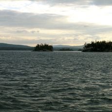
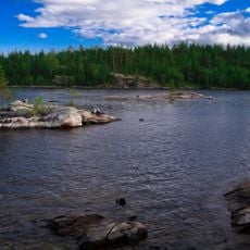
Nuorunen is the highest mountain summit in the Republic of Karelia, rising 577 meters above sea level and located within Paanajärvi National Park. From the peak, visitors can see across the surrounding forest landscape and into neighboring Finnish territory.
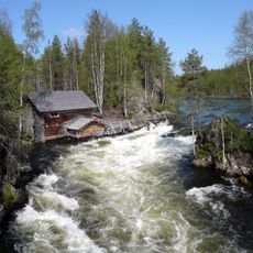
For centuries, this mountain served as a key reference point and natural boundary dividing Karelian and Finnish territories. The location shaped how communities understood and navigated this border region over time.
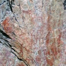
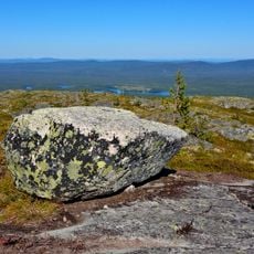
The summit features a large sacred stone that held spiritual importance in Sami traditions and continues to reflect their connection to this mountainous landscape. This rock marks a place where indigenous beliefs shaped how people understood the natural world around them.
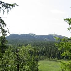
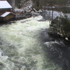
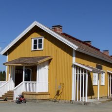
The climb involves hiking on marked trails that begin from various access points throughout the national park. Getting to the summit requires walking in potentially changing weather, so visitors should be prepared for unpredictable mountain conditions.
The summit often appears hidden under snow to visitors, and on clear days the views stretching across both countries reveal how the mountain's position shaped border understanding. This unobstructed vista shows why the peak became such an important landmark for navigation through this borderland.
The community of curious travelers
AroundUs brings together thousands of curated places, local tips, and hidden gems, enriched daily by 60,000 contributors worldwide.