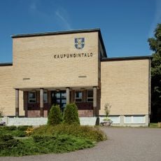
Harjavalta, town in the region of Satakunta in Finland
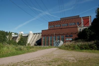
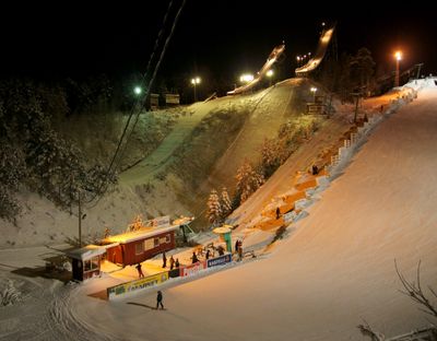
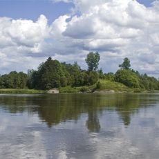
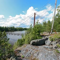
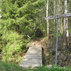
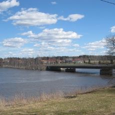
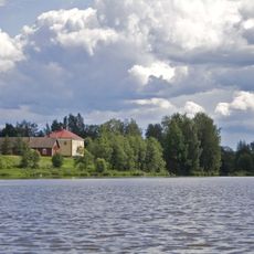
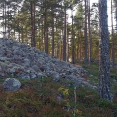
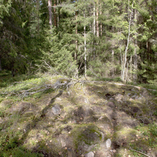
Harjavalta is a small town in the Satakunta region of Finland with around 7,000 residents. The landscape is mostly flat and forested, crossed by the Kokemäenjoki river, with the Hiittenharju hill marking the southern edge and several lakes and waterways dotting the area.
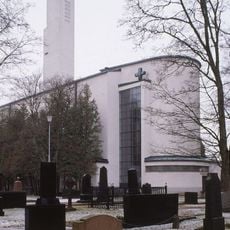
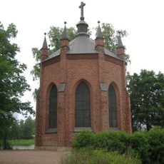
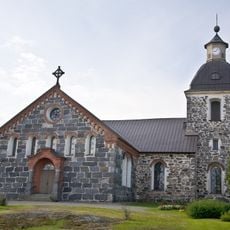
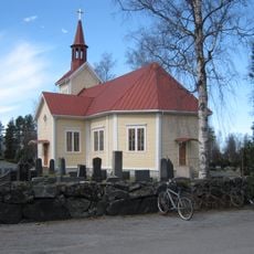
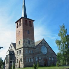
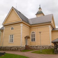
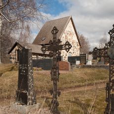
Settlement signs date back to 1500 BC when fishers and farmers used the area. The town grew gradually, gained its own church in 1870, became a municipality in 1869, and saw the railway arrive in 1895, which accelerated industrial development that followed.
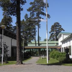
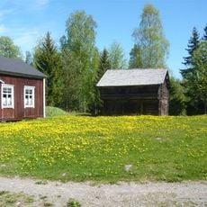
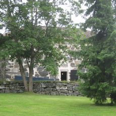
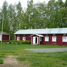
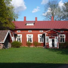
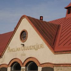
The name Harjavalta may derive from an old Germanic leader's name and could mean "place of a leader" or "hill area". Traditional wooden houses painted in soft colors line the quiet streets, and locals gather at the community center for festivals where you can taste traditional Finnish food and hear folk music.
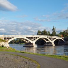
Most places in town are easy to reach on foot, with local shops for everyday needs and a small supermarket serving residents. Train service connects it to larger cities like Tampere and Pori, while buses also link it to Helsinki and other towns in the region.
The town is world-known for inventing flash smelting in 1949, a revolutionary method for rapidly melting and recovering metal. This technology, developed here, is now used in copper and nickel smelters around the globe.
The community of curious travelers
AroundUs brings together thousands of curated places, local tips, and hidden gems, enriched daily by 60,000 contributors worldwide.