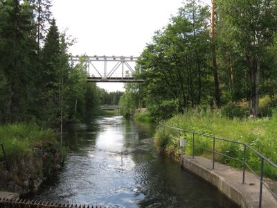
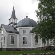
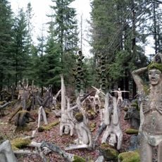
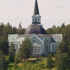
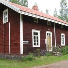
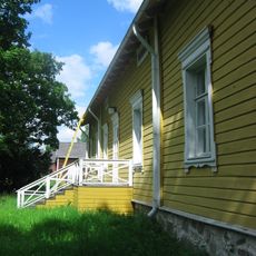
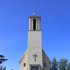
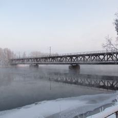
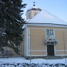
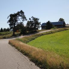
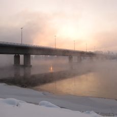
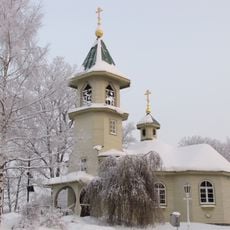
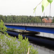
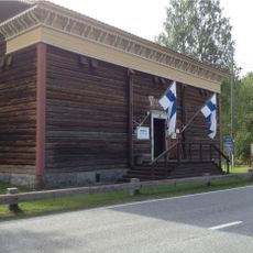
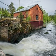
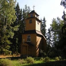
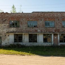
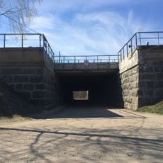
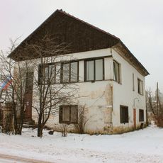
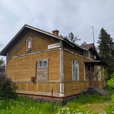
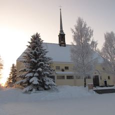
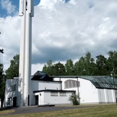
Rautjärvi, municipality in the region of South Karelia in Finland
Location: South Karelia
Inception: 1871
Website: http://www.rautjarvi.fi/
Part of: Southeast Finland
Shares border with: Parikkala, Ruokolahti
Website: http://rautjarvi.fi
GPS coordinates: 61.43333,29.35000
Latest update: March 10, 2025 11:26
Rautjärvi church
18.9 km
Parikkala Sculpture Park
9 km
Ruokolahti Church
32.3 km
Kollaa and Simo Häyhä Museum
17.1 km
Koitsanlahti Manor
6.3 km
Simpele Church
2.2 km
Mansikkakoski bridge
40.2 km
Parikkala Church
14.3 km
Niskapietiläntie
30.7 km
Mansikkala bridge
40.4 km
Cultural Centre Virta
40.7 km
Tainionkoski church
40.1 km
Saint Nicholas church
39.4 km
Imatra City Hall
40.7 km
Torna Bridge
38.8 km
Border Museum
32.4 km
Ruokolahden kotiseutumuseo
32.3 km
Silvu
13.4 km
Parikkalan meijerimuseo
14.4 km
Parikkalan kotiseutumuseo
14.4 km
Ritakoski
1.4 km
Кирха (Ильме)
15.3 km
Cooperative shop building
16.1 km
Железнодорожный путепровод (Элисенваара)
22.1 km
Hiitola administration building
28.7 km
Вокзал станции «Ояярви» (Ручьи)
34.1 km
Ritikankoski
40 km
Kaukopää
33.8 kmReviews
Visited this place? Tap the stars to rate it and share your experience / photos with the community! Try now! You can cancel it anytime.
Discover hidden gems everywhere you go!
From secret cafés to breathtaking viewpoints, skip the crowded tourist spots and find places that match your style. Our app makes it easy with voice search, smart filtering, route optimization, and insider tips from travelers worldwide. Download now for the complete mobile experience.
A unique approach to discovering new places❞
— Le Figaro
All the places worth exploring❞
— France Info
A tailor-made excursion in just a few clicks❞
— 20 Minutes