
Vršak, Berggipfel in Kroatien
Location: Lika-Senj County
GPS coordinates: 44.66222,15.91000
Latest update: September 29, 2025 00:25
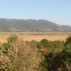
Krbava Field
18 km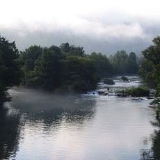
Una National Park
25.7 km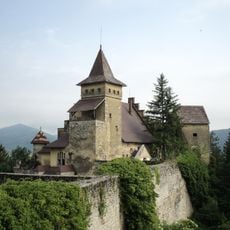
Ostrožac Castle
27 km
Štrbački buk
7.9 km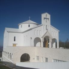
Horvát Mártírok temploma
18.3 km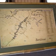
Boričevac
17.4 km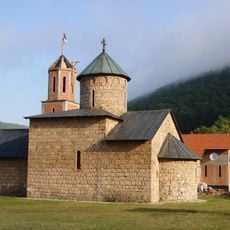
Rmanj Monastery
26.4 km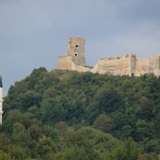
Sokolačka Fortress
13.8 km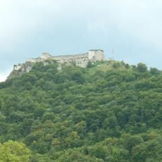
Ostrovica Fortress
17.8 km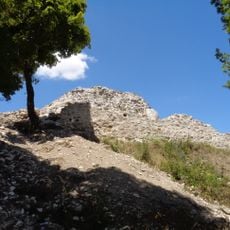
Udbina Castle
18.2 km
Podlapača
23.7 km
Jošan
16 km
Bjelaj Fortress
24.5 km
Bjelopolje
13.3 km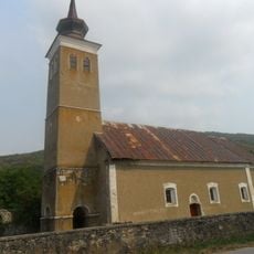
Debelo Brdo
17.3 km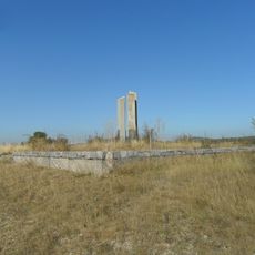
Kurjak
24.6 km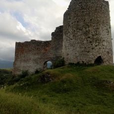
Bjelaj Fortress
24.4 km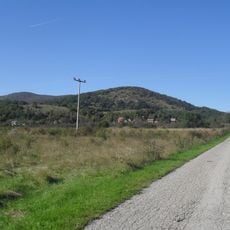
Birovača
9.5 km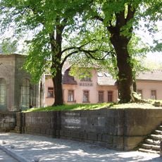
Turbe Mausoleum (Bihać)
17.1 km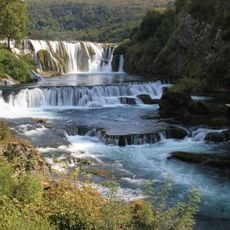
Donji Štrbci
7.1 km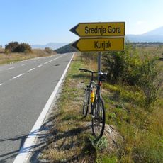
Srednja Gora
25.6 km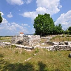
Crkva sv. Marka Groba u Podudbini
17.3 km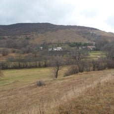
Vrpile
18.5 km
Breštane
23.9 km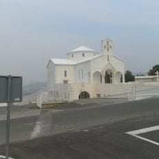
Crkva sv. Nikole biskupa na Udbini
18.4 km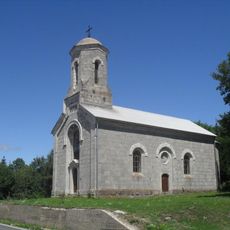
Kirche Hl. Sava
16 km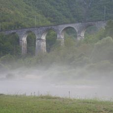
Jarapaga viaduct
24.1 km
Kapela Korenička
24.8 kmReviews
Visited this place? Tap the stars to rate it and share your experience / photos with the community! Try now! You can cancel it anytime.
Discover hidden gems everywhere you go!
From secret cafés to breathtaking viewpoints, skip the crowded tourist spots and find places that match your style. Our app makes it easy with voice search, smart filtering, route optimization, and insider tips from travelers worldwide. Download now for the complete mobile experience.

A unique approach to discovering new places❞
— Le Figaro
All the places worth exploring❞
— France Info
A tailor-made excursion in just a few clicks❞
— 20 Minutes