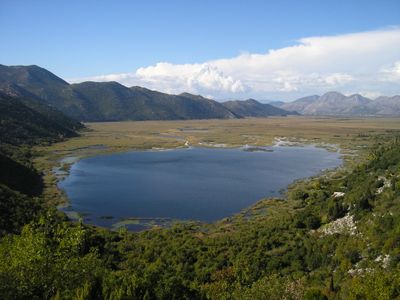
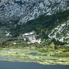
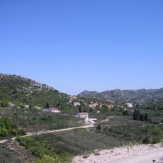
Kuti, Lake and protected area in Zažablje, Croatia
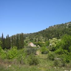
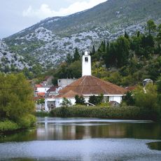
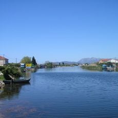
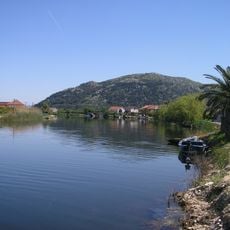
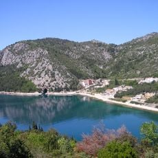
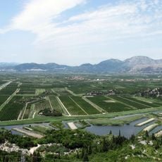
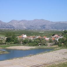
Kuti is a lake in the Neretva Valley near Zazablje that stretches roughly 2.4 kilometers in length and just under 1 kilometer in width. The water body reaches approximately 4.6 meters at its deepest point and is fed by several springs on the eastern shore that supply it with water.
The lake received official protected status through a Croatian Government decree in 2020. This designation safeguards its role as a crucial breeding and stopover site for bird populations.
The lake serves as a vital stopover for migratory birds traveling between northern and southern Europe. Birdwatchers come here to observe species that are otherwise difficult to spot in the region.
The protected area is easily accessible and well suited for birdwatching throughout the year. The best times to visit are spring and autumn when migratory birds pass through.
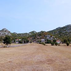
During dry summers the water level drops enough that a small island appears in the center of the lake. This seasonal change creates a different landscape view and affects where birds gather.
The community of curious travelers
AroundUs brings together thousands of curated places, local tips, and hidden gems, enriched daily by 60,000 contributors worldwide.