
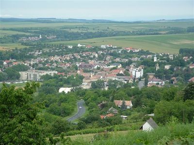
Tab, town in Hungary
Location: Tab District
Website: http://tab.hu
Shares border with: Zala, Kánya, Bábonymegyer, Sérsekszőlős, Torvaj
Website: http://tab.hu
GPS coordinates: 46.73271,18.03556
Latest update: June 19, 2025 06:27
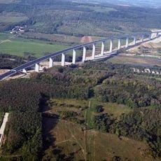
Kőröshegy viaduct
14 km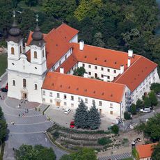
Tihany Abbey
23 km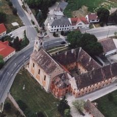
Roman Catholic church in Andocs
12.5 km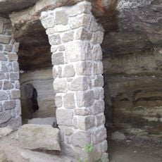
Barátlakások
24.3 km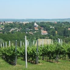
Saint Ladislaus Church, Karád
15.5 km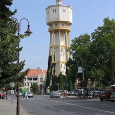
Water tower of Siófok
19.3 km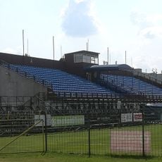
Révész Street Stadium
19.7 km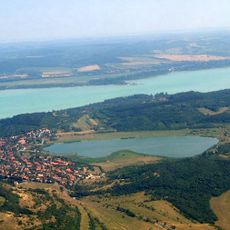
Tihanyi-szoros
19.7 km
Lutheran church
19.6 km
Outer lake (Tihany)
24 km
Böre Castle
9.3 km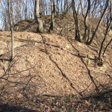
Kási Vár
7 km
Kastelo de Emód
16.9 km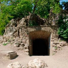
Tihanyi Forrás Cave
23.1 km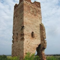
Hetyei templomrom
16.9 km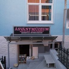
Ásványmúzeum (Siófok)
19.4 km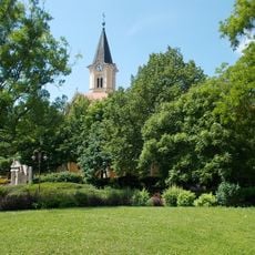
Church of the Visitation
19.4 km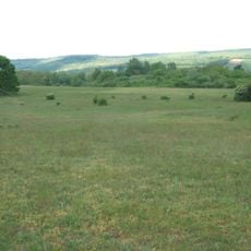
Látrány-puszta Természetvédelmi Terület
20.2 km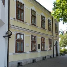
Emmerich Kálmán Memorial House
19.4 km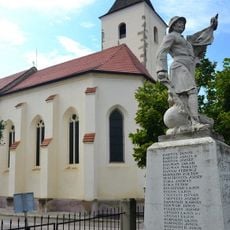
Preĝejo Sankta Kruco (Kőröshegy)
15.2 km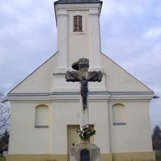
Calvary chapel in Makó
12.4 km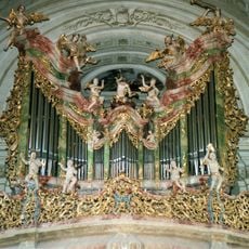
Pipe organ of the Tihany Abbey
23 km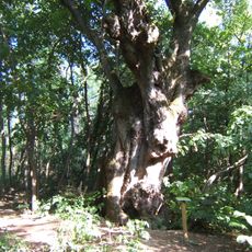
Lime Tree of Felsőmocsolád
23.4 km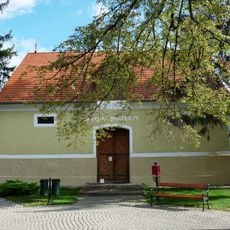
Balatonszemes Postal Museum
21.1 km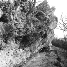
Nyereg-hegyi Cave
24.2 km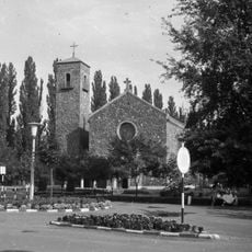
Category:Holy Cross church (Balatonföldvár)
17.8 km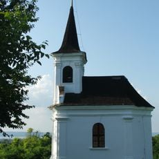
Saint Donatus Chapell, Balatonlelle
25.2 km
Kálmán Imre Szabadtéri Színpad
19.7 kmReviews
Visited this place? Tap the stars to rate it and share your experience / photos with the community! Try now! You can cancel it anytime.
Discover hidden gems everywhere you go!
From secret cafés to breathtaking viewpoints, skip the crowded tourist spots and find places that match your style. Our app makes it easy with voice search, smart filtering, route optimization, and insider tips from travelers worldwide. Download now for the complete mobile experience.

A unique approach to discovering new places❞
— Le Figaro
All the places worth exploring❞
— France Info
A tailor-made excursion in just a few clicks❞
— 20 Minutes