
Törökbálint, town in Hungary
Location: Érd District
Website: https://www.torokbalint.hu/
Shares border with: Budapest, Diósd, Érd, Biatorbágy, Budaörs, Budapest District XI
Website: https://torokbalint.hu
GPS coordinates: 47.43556,18.91556
Latest update: April 9, 2025 15:55
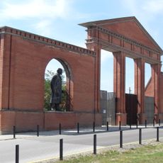
Memento Park
6.4 km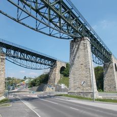
Biatorbágy Railway Viaduct
7.4 km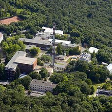
Central Research Institute for Physics
6.6 km
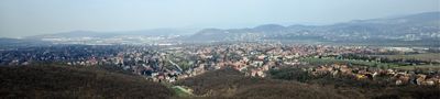
Tétényi Plateau
3.5 km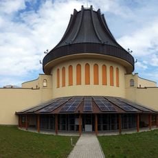
Holy Angels Church in Gazdagrét
7.1 km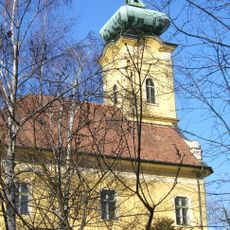
Makkosmária kegytemploma
7.3 km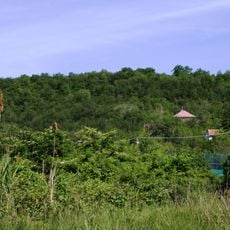
Rupp-hegy
6.5 km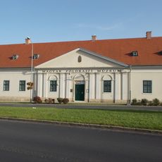
Hungarian Geographical Museum
6.5 km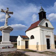
Immaculate Conception chapel
4.5 km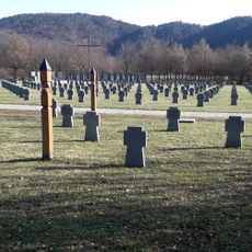
German Military Cemetery - Budaörs
3.7 km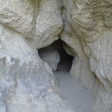
Zelezna Baba Cave
7.1 km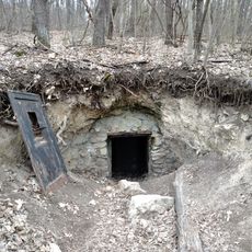
Piktortégla cavities
5.3 km
Diósdi Római Cave
3.1 km
St. John of Nepomuk church, Budaörs
4.6 km
Szilikózis Cave
7 km
Ötházpusztai No 1 Cave
6.4 km
Guillotine Cave
7.3 km
Szinlő Cave
7 km
Kőbeles Cave
6.6 km
Réserve naturelle du plateau de Tétény
5.4 km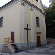
Preĝejo Prezento de Sankta Maria
833 m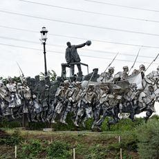
Béla Kun Memorial
6.4 km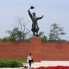
Ostapenko
6.3 km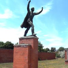
Miklós Steinmetz
6.3 km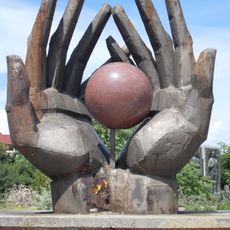
Workers’ Movement Memorial
6.3 km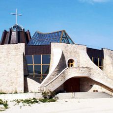
Preĝejo de Sanktaj Anĝeloj (Újbuda)
7.1 km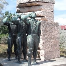
Monument to the Hungarian fighters of the International Brigades in Spain
6.3 km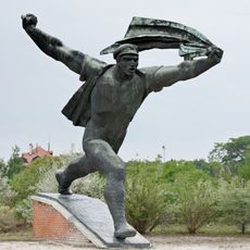
Republic of Councils Monument
6.3 kmReviews
Visited this place? Tap the stars to rate it and share your experience / photos with the community! Try now! You can cancel it anytime.
Discover hidden gems everywhere you go!
From secret cafés to breathtaking viewpoints, skip the crowded tourist spots and find places that match your style. Our app makes it easy with voice search, smart filtering, route optimization, and insider tips from travelers worldwide. Download now for the complete mobile experience.

A unique approach to discovering new places❞
— Le Figaro
All the places worth exploring❞
— France Info
A tailor-made excursion in just a few clicks❞
— 20 Minutes