
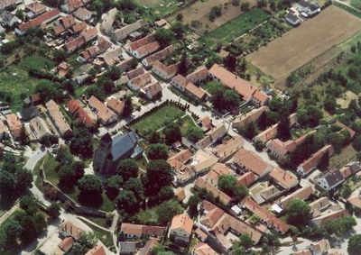
Dunabogdány, village in Hungary
Location: Szentendre District
Shares border with: Tahitótfalu, Pilisszentlászló, Visegrád, Kisoroszi
Website: http://dunabogdany.hu
GPS coordinates: 47.79441,19.02944
Latest update: April 6, 2025 08:36
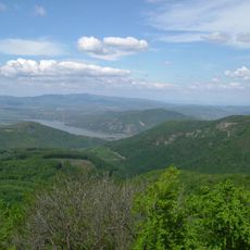
Danube-Ipoly National Park
6.7 km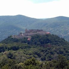
Visegrád Castle
3.7 km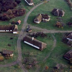
Open-air Ethnographic Museum
11.3 km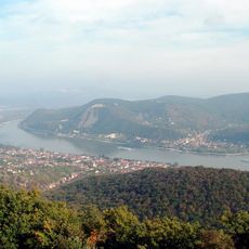
Szentendre Island
11.3 km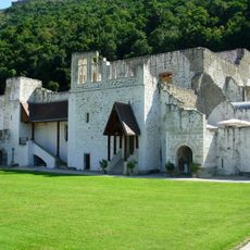
Royal palace of Visegrád
4.1 km
Skanzen főépület
11.4 km
Vác Cathedral
7.9 km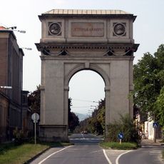
Triumphal Arch of Vác
7 km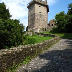
Solomon Tower, Visegrád
3.9 km
Church of the Whites
7.6 km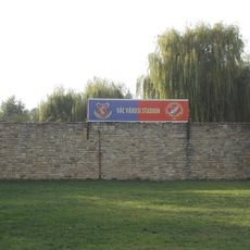
Stadion Városi Vác
8.7 km
Episcopal Palace (Vác)
7.8 km
Castra Ponte Navata
3.7 km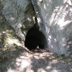
Sas-kövi Cave
10.8 km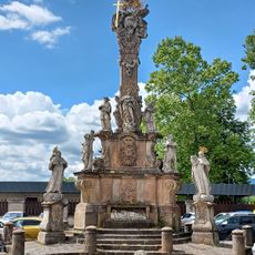
Vác Városi Uszoda és Strandfürdő
7.6 km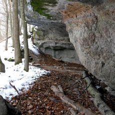
Macska Hole
9.7 km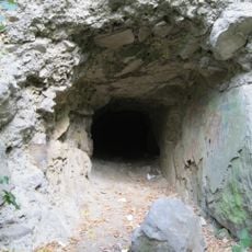
Dömör-kapu Cave
11.2 km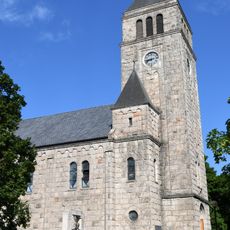
Saint John of Nepomuk Church, Dunabogdány
398 m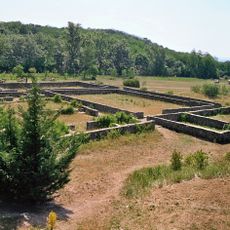
Villa rustica of Szentendre-Skanzen
11.3 km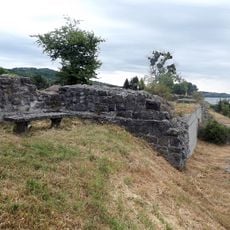
Castra of Verőce
3.1 km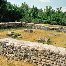
Burgus Leányfalu
9.7 km
Palace of the Grand Provost
7.5 km
Március 15. tér 20, Vác (Curia Szálló)
7.6 km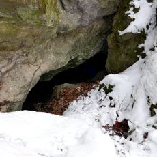
Szentendrei Cave
9.7 km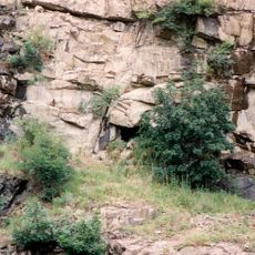
Csódi-hegyi Cave
2.3 km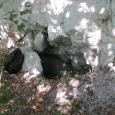
Sas-kő Small Cave
10.8 km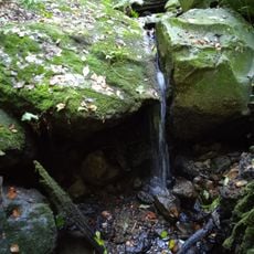
Kalicsa cavity
4.9 km
Görgei Artúr-portrészobor
4.5 kmVisited this place? Tap the stars to rate it and share your experience / photos with the community! Try now! You can cancel it anytime.
Discover hidden gems everywhere you go!
From secret cafés to breathtaking viewpoints, skip the crowded tourist spots and find places that match your style. Our app makes it easy with voice search, smart filtering, route optimization, and insider tips from travelers worldwide. Download now for the complete mobile experience.

A unique approach to discovering new places❞
— Le Figaro
All the places worth exploring❞
— France Info
A tailor-made excursion in just a few clicks❞
— 20 Minutes