Bonyhád, town in Hungary
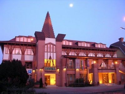
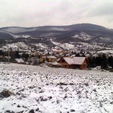
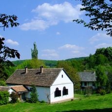
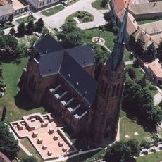
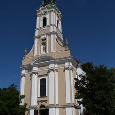
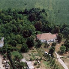
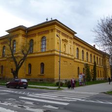
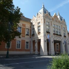
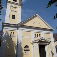
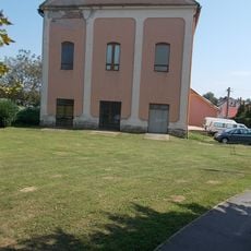
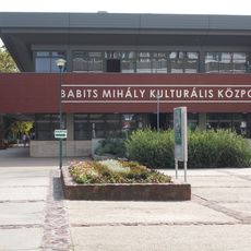
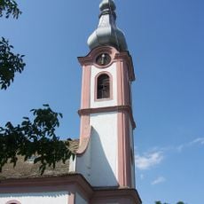
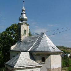
Bonyhád is a small town in Hungary situated in a rural district with a manageable size and walkable layout. The settlement features old churches, a thermal bath, several small museums, a local crafts workshop, and a town square with shops and cafes that serve as gathering places.
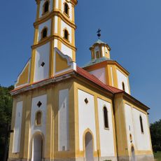
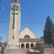
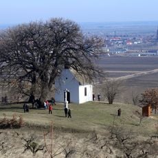
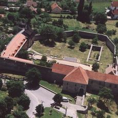
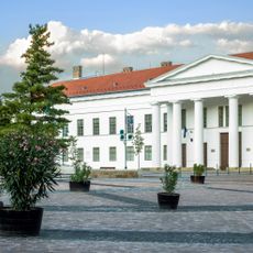
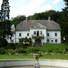
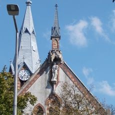
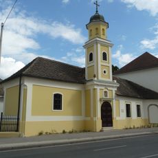
The town has roots extending back several centuries, with key structures built during different periods. The evangelical church dates from 1797-1800, the Kálvária religious site from 1816, and more recent additions like the thermal bath from 2012 show how the settlement evolved from religious center to modern community hub.
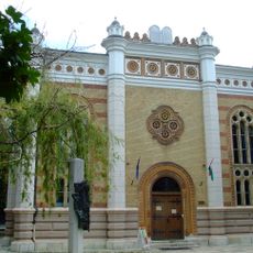
The town reflects the coexistence of different communities that shaped its identity over time. You can see this in the evangelical church and the House of Hungarian Germans, where local traditions and ways of life remain visible in daily routines and community gatherings.
The town is small enough to explore on foot, and walking paths connect to surrounding fields and forests for outdoor activities. Basic facilities including shops, clinics, and local bus service provide everything needed for a comfortable visit.
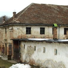
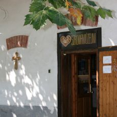
A notable feature is the Kardkovács workshop, where artisans have practiced traditional metalworking and crafts for nearly three decades using time-honored methods. This working craft center allows visitors to observe authentic local skills and techniques that have remained active in the community.
The community of curious travelers
AroundUs brings together thousands of curated places, local tips, and hidden gems, enriched daily by 60,000 contributors worldwide.