Drávakeresztúr, village in Hungary
Location: Sellye District
Shares border with: Drávasztára, Felsőszentmárton, Drávaiványi
GPS coordinates: 45.83944,17.75944
Latest update: April 9, 2025 23:02
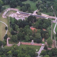
Castle of Szigetvár
23.7 km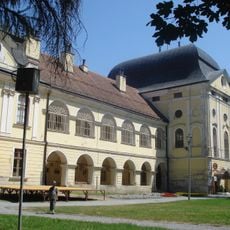
Pejačević Castle in Virovitica
29 km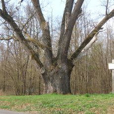
Patkó Bandi Tree
22.7 km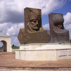
Hungarian-Turkish Friendship Park
26.4 km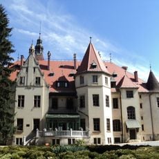
Mailáth Castle, Donji Miholjac
32.8 km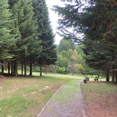
Lisičine Arboretum
28.5 km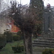
Cabuna
16.9 km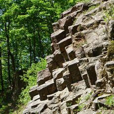
Rupnica
31.5 km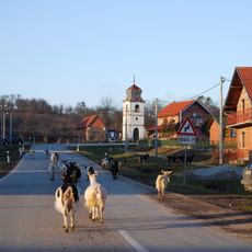
Ćeralije
24.8 km
Bijeljevina Orahovička
32.3 km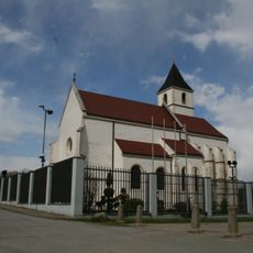
Church of the Visitation of the Blessed Virgin Mary
29.5 km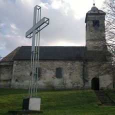
Slatinski Drenovac
32.4 km
Gornja Pištana
34.6 km
Pčelić
19.9 km
Gaćište
12.4 km
Ivanovo, Viljevo
30.4 km
Kapelna
27.8 km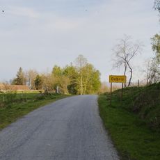
Dobrić, Voćin
30.1 km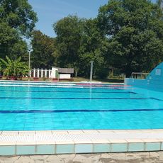
Sellyei Termálfürdő
8.3 km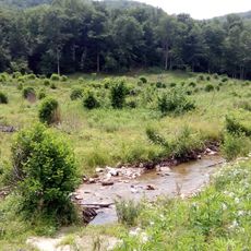
Kuzma, Voćin
31.7 km
Budakovac
9.6 km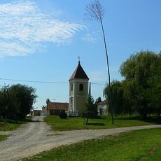
Gornje Predrijevo
23.1 km
Novaki, Sopje
10.6 km
Sekulinci
30.6 km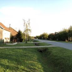
Donje Predrijevo
26.7 km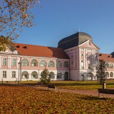
Virovitica City Museum
29 km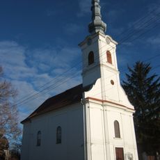
Reformed Church, Botyka
24.8 km
Kometnik-Zubići
29.8 kmReviews
Visited this place? Tap the stars to rate it and share your experience / photos with the community! Try now! You can cancel it anytime.
Discover hidden gems everywhere you go!
From secret cafés to breathtaking viewpoints, skip the crowded tourist spots and find places that match your style. Our app makes it easy with voice search, smart filtering, route optimization, and insider tips from travelers worldwide. Download now for the complete mobile experience.

A unique approach to discovering new places❞
— Le Figaro
All the places worth exploring❞
— France Info
A tailor-made excursion in just a few clicks❞
— 20 Minutes