
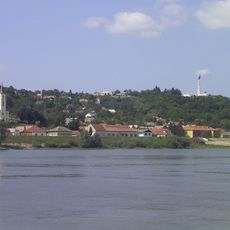
Dávodi földvári-tó természetvédelmi terület, lake in Hungary
Location: Dávod
Location: Bács-Kiskun County
Inception: 2000
GPS coordinates: 46.00239,18.86284
Latest update: May 7, 2025 18:43
Batina
17.4 km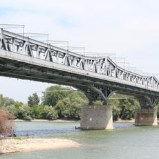
István Türr Bridge
21.8 km
Zmajevac, Kneževi Vinogradi
23.3 km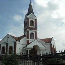
Suza, Kneževi Vinogradi
25.4 km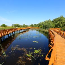
Five-country Biosphere Reserve Mura-Drava-Danube
9.4 km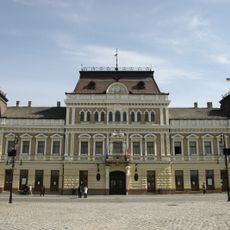
Town Hall (Baja)
20.7 km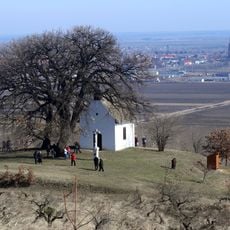
Oak of Bátaszék
22.5 km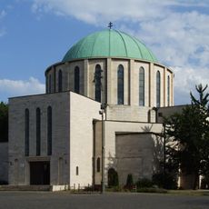
Church of the Annunciation
13.5 km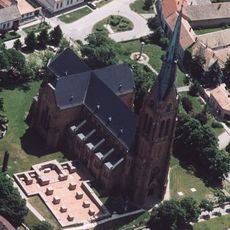
Cikádor Abbey
23.2 km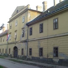
Kneževo, Popovac
23.7 km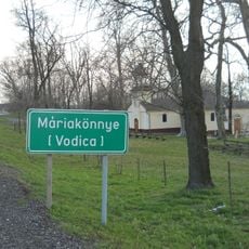
Vodica
8.4 km
Béda-Karapancsa
11.1 km
Duboševica
18.3 km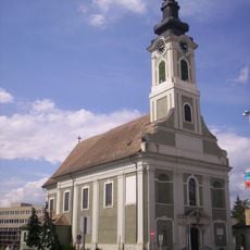
Iglesia San Pedro y San Pablo
20.9 km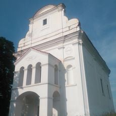
Topolje
18.2 km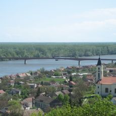
Batina Bridge
17.6 km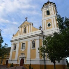
Franciscan Friary, Baja
20.7 km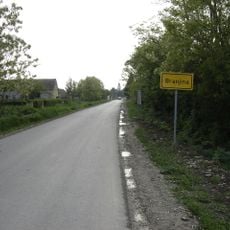
Branjina
23.5 km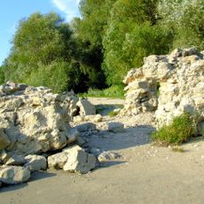
Burgus Contra Florentiam
11.9 km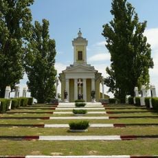
Golgota kapelo
20.3 km
Castra Ad Novas
22.7 km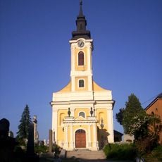
Saint Roch Cemetery Chapel, Baja
20.6 km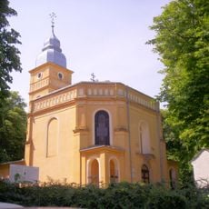
Kapelo Dolora Sankta Maria
14.4 km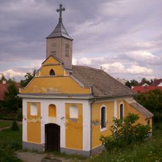
Capilla de San Juan de Nepomuk
20.7 km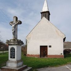
Chapel of St Trojstva in Bezdan
18 km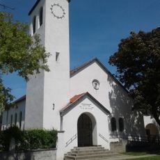
Lutheran church in Mohács
14.1 km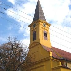
Église Saint-Pierre-et-Saint-Paul de Bački Monoštor
25.3 km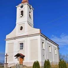
Église Saint-Michel de Bački Breg
11.9 kmReviews
Visited this place? Tap the stars to rate it and share your experience / photos with the community! Try now! You can cancel it anytime.
Discover hidden gems everywhere you go!
From secret cafés to breathtaking viewpoints, skip the crowded tourist spots and find places that match your style. Our app makes it easy with voice search, smart filtering, route optimization, and insider tips from travelers worldwide. Download now for the complete mobile experience.

A unique approach to discovering new places❞
— Le Figaro
All the places worth exploring❞
— France Info
A tailor-made excursion in just a few clicks❞
— 20 Minutes