
Erdőbényei Fás Legelő Természetvédelmi Terület
Location: Borsod-Abaúj-Zemplén County
Inception: 1990
Elevation above the sea: 300 m
Part of: Aggtelek National Park
GPS coordinates: 48.27897,21.31822
Latest update: March 11, 2025 12:35

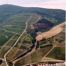
Tokaj wine region
14.5 km
Boldogkő Castle
9.7 km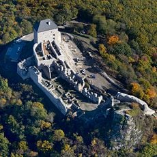
Regéc Castle
11.3 km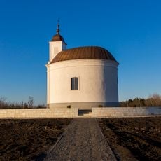
Saint Teresa chapel
14.6 km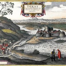
Tokaj Castle
18.2 km
Szerencs Castle
15.7 km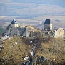
Zempléni Tájvédelmi Körzet
16.5 km
Patay Mansion (Abaújszántó)
8.2 km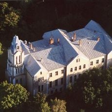
Lónyay Mansion
14.8 km
Reformed Church in Vizsoly
13.9 km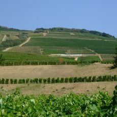
Tokaj-Bodrogzugi Tájvédelmi Körzet
13.4 km
Péchy–Zichy Mansion
8.7 km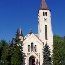
Sacred Heart Church in Tokaj
18.3 km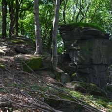
Pengő-kő
15.8 km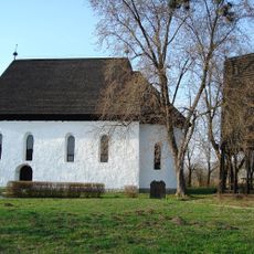
Reformed church in Szabolcs
17.5 km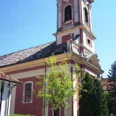
Saint Nicholas Orthodox church in Tokaj
18.1 km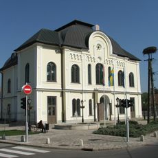
Synagogue in Tokaj
18.1 km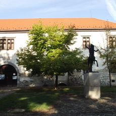
Sárospataki Képtár
18.9 km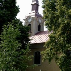
Saint Anne Church, Rátka
14 km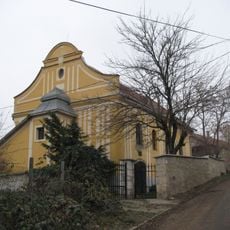
Synagogue (Tarcal)
16.8 km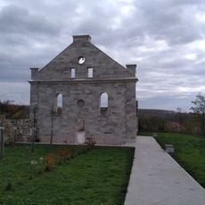
Synagoge
9.4 km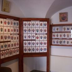
Coat of Arms Museum
10.2 km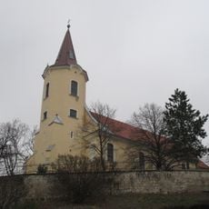
Church of the Ascension of Christ
17 km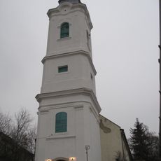
Reformed Church (Tarcal)
16.9 km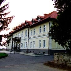
Degenfeld Mansion, Tarcal
15.1 km
Kalvinana kirko
13.8 km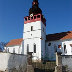
Church of the Nativity of the Virgin Mary, Tolcsva
9.5 km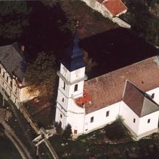
Református templom (Tállya)
8.1 kmReviews
Visited this place? Tap the stars to rate it and share your experience / photos with the community! Try now! You can cancel it anytime.
Discover hidden gems everywhere you go!
From secret cafés to breathtaking viewpoints, skip the crowded tourist spots and find places that match your style. Our app makes it easy with voice search, smart filtering, route optimization, and insider tips from travelers worldwide. Download now for the complete mobile experience.

A unique approach to discovering new places❞
— Le Figaro
All the places worth exploring❞
— France Info
A tailor-made excursion in just a few clicks❞
— 20 Minutes