
Kilteel, village in Leinster, Ireland
Location: County Kildare
Elevation above the sea: 243.8 m
GPS coordinates: 53.23333,-6.51667
Latest update: April 16, 2025 15:08
K Club
10.5 km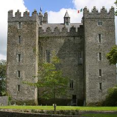
Lyons Demesne
7.8 km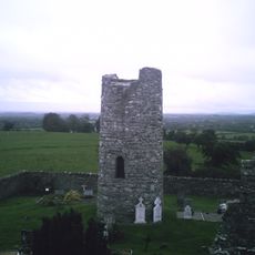
Oughter Ard
5.9 km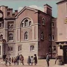
Naas Town Hall
10 km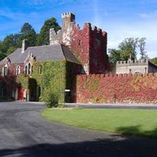
Barretstown Castle
10.8 km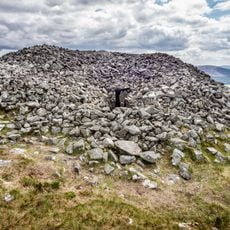
Seefin Passage Tomb
9.7 km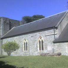
St David's Church
9.9 km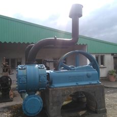
The Steam Museum
10.4 km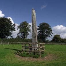
Punchestown Longstone
8.8 km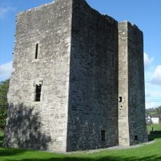
Threecastles Castle
6.1 km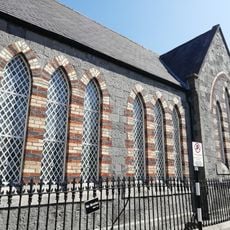
Naas Presbyterian Church
9.9 km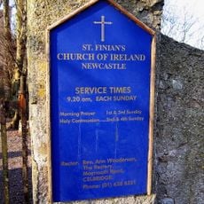
St Finian's Church of Ireland
7.5 km
Naas Courthouse
10 km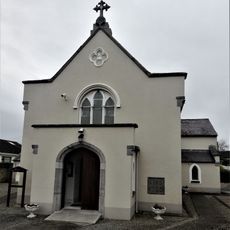
St. Brigid's Church, Straffan
10.7 km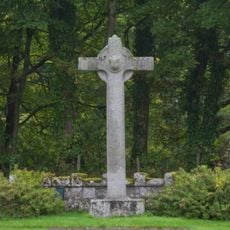
St. Mark's Cross
8.2 km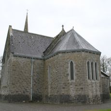
Straffan Parish Church
10.6 km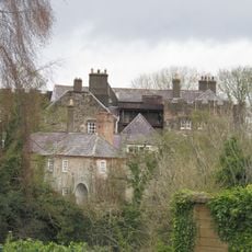
Leixlip Castle
3 km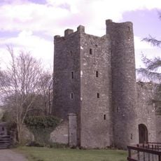
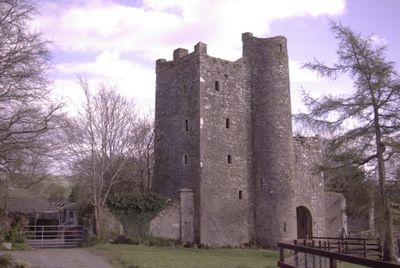
Kilteel Castle
723 m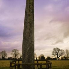
Longstone Rath
6.2 km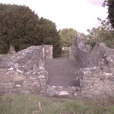
Kilteel Church
541 m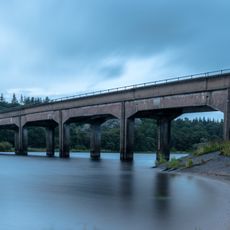
Blessington Bridge
7.1 km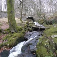
Cloghleagh Bridge
7.5 km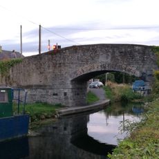
Hazelhatch Bridge
9.4 km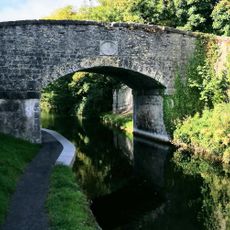
Alymer Bridge
8.4 km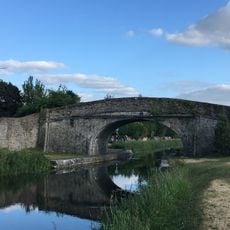
Abbey Bridge
10.1 km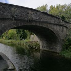
Henry Bridge
7.7 km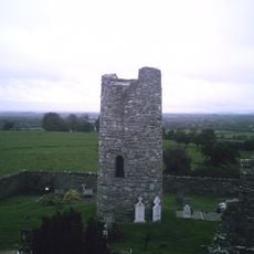
Oughter Ard Tower
5.9 km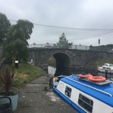
Sallins Bridge
10.1 kmVisited this place? Tap the stars to rate it and share your experience / photos with the community! Try now! You can cancel it anytime.
Discover hidden gems everywhere you go!
From secret cafés to breathtaking viewpoints, skip the crowded tourist spots and find places that match your style. Our app makes it easy with voice search, smart filtering, route optimization, and insider tips from travelers worldwide. Download now for the complete mobile experience.

A unique approach to discovering new places❞
— Le Figaro
All the places worth exploring❞
— France Info
A tailor-made excursion in just a few clicks❞
— 20 Minutes