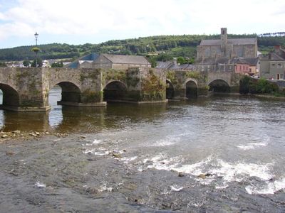
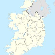
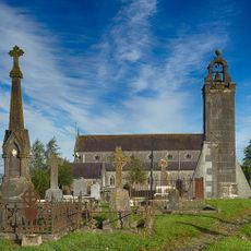
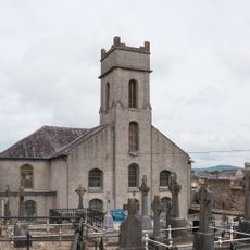
Carrick-on-Suir, town in County Tipperary, Ireland
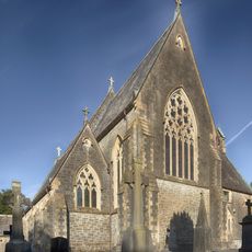
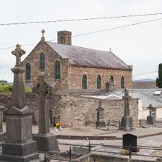
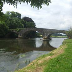
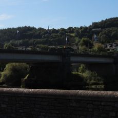
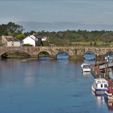
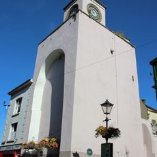
Carrick-on-Suir is a small town in County Tipperary situated along a quiet stretch of the River Suir. The town spreads along the riverside with a main street lined by older buildings and local shops that form its modest center.
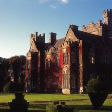
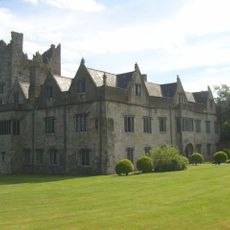
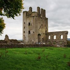
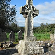
The town grew from medieval roots around a Butler family castle that dominated the region for centuries. This historic stronghold shaped the settlement's character and importance throughout its development.
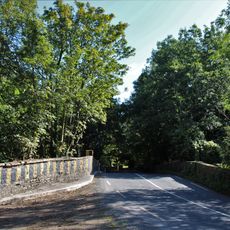
You can walk around the town center easily and use the riverside paths for exploration. The place is small and straightforward to navigate, making it comfortable for a leisurely stroll.
The community of curious travelers
AroundUs brings together thousands of curated places, local tips, and hidden gems, enriched daily by 60,000 contributors worldwide.