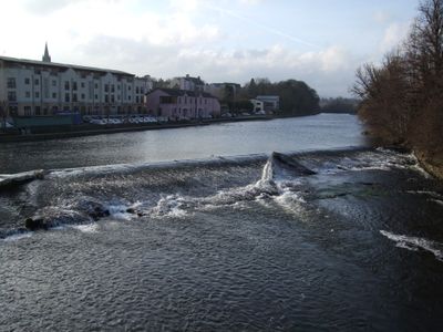
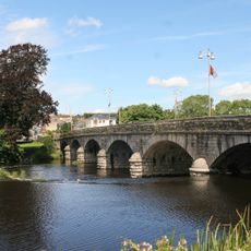
Fermoy, town on the River Blackwater in east County Cork, Ireland
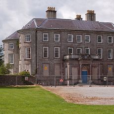
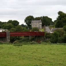
Fermoy is a settlement in County Cork in southeast Ireland that serves as a market town for the surrounding region. The place features typical amenities of an Irish town including shops, cafes, and public spaces along its streets.
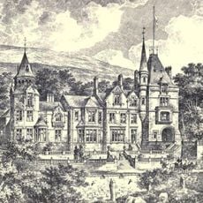
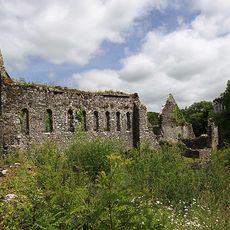
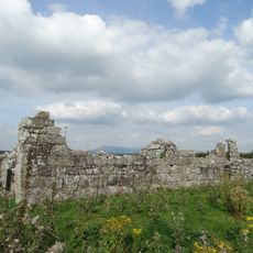
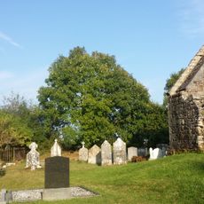
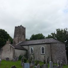
The town was established in the 18th century and grew into an important trading hub along the River Blackwater. Its structure as a market town was maintained over the centuries and continues to shape how the place functions today.
The town carries a name rooted in Irish heritage and functions today as a working market town where locals gather in shops and on the streets. This everyday commercial rhythm shapes how people experience and move through the place.
The town is easy to walk around with adequate parking near the main street for those arriving by car. Restaurants and shops are concentrated on the central streets, making it simple to explore the essentials during a visit.
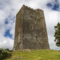
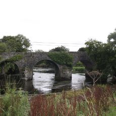
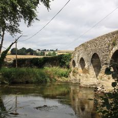
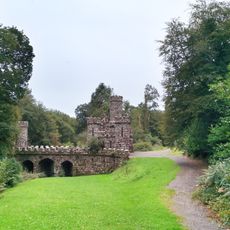
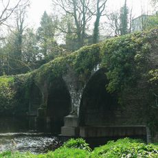
The place sits along the River Blackwater, giving it a distinctive geographic setting within the region. This waterside location historically shaped its economic role and remains a pleasant feature for visitors exploring the area.
The community of curious travelers
AroundUs brings together thousands of curated places, local tips, and hidden gems, enriched daily by 60,000 contributors worldwide.