Drumcondra, Residential suburb in north Dublin, Ireland.
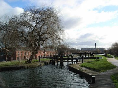
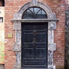
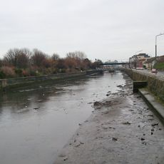
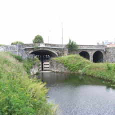
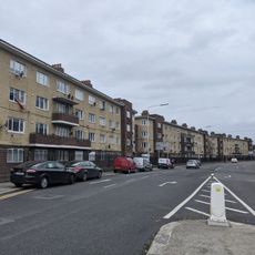
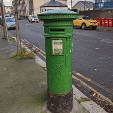
Drumcondra is a residential suburb in north Dublin characterized by Victorian and Edwardian townhouses lining its streets in a traditional urban pattern. The Royal Canal and River Tolka flow through the area, providing green corridors that break up the built environment.
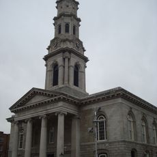
The area developed from a small village in the 18th century into a significant Dublin suburb as the city expanded northward. The 19th century saw rapid construction of Victorian housing to accommodate a growing population seeking homes outside the city center.
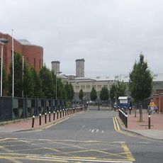
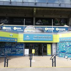
The neighborhood carries a strong sporting identity, with Croke Park stadium serving as the heart of Irish Gaelic games and a gathering place for the community. This connection to sport shapes how locals and visitors experience the area throughout the year.
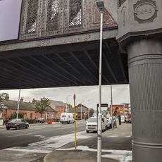
The area connects to Dublin city center through multiple bus routes, a railway station, and a pleasant walking path that takes about 20 minutes to reach O'Connell Street. Visitors will find the neighborhood easy to navigate with good public transport links to other parts of the city.
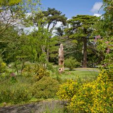
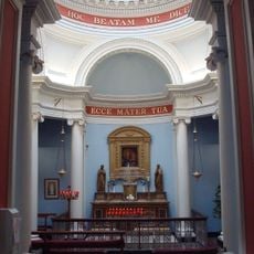
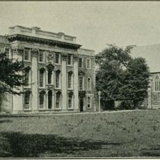
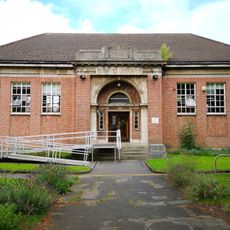
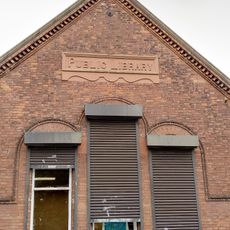
Dublin City University occupies the former St. Patrick's College campus, blending 19th-century buildings with modern educational facilities on the site. This transformation shows how a historic institution was adapted to serve contemporary learning needs.
The community of curious travelers
AroundUs brings together thousands of curated places, local tips, and hidden gems, enriched daily by 60,000 contributors worldwide.