Chest opened
+${chestReward.xp} XP
Explorer
NOUVEAU ×${chestReward.collectible.quantity}
tapez pour fermer
Chest locked

Open chests in the app

Around Us is built for your phone — chests unlock when you walk, explore and capture nearby places.

Enable Location

We need your location to show you interesting places around you

Discover nearby places

Find interesting locations and hidden gems around you

Precise directions

Get accurate directions and distances to places

Your location is never shared with other users. It's only used when you tap the location button.

MacGillycuddy's Reeks

Log in to your account

Start exploring — it's free

Trusted by 72,885 travelers worldwide

Continue with Google
Continue with Apple
or

We will send you a code to connect

By continuing, you accept our Terms and Conditions and our Privacy Policy

Check your inbox

We've sent a pincode in your inbox. Please enter the code below.

MacGillycuddy's Reeks
Discussion Reviews 3 Photos
20.6k Popularity

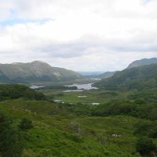
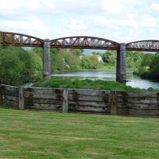
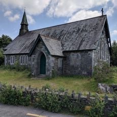
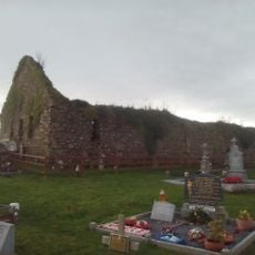
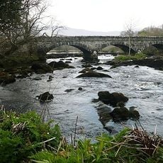
MacGillycuddy's Reeks, Mountain range in County Kerry, Ireland

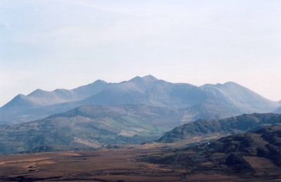
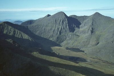
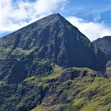
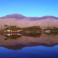
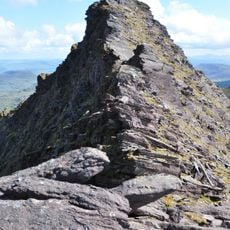
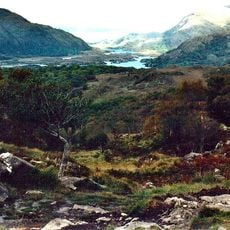
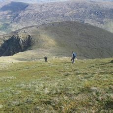
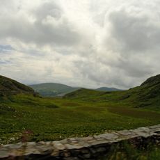
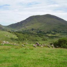
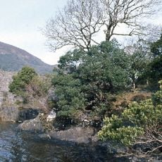
MacGillycuddy's Reeks is a sandstone mountain range stretching roughly twenty kilometers across the landscape, forming the highest peaks in Ireland. The tallest summit, Carrauntuohill, rises to about 1,038 meters (3,406 feet) and dominates the skyline of the region.

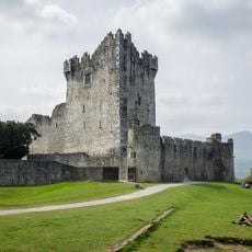
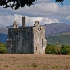
The mountains took their name from the Macgillycuddy clan who ruled these lands in the 18th century, marking their territorial power in the region. This naming and the family's influence shaped how the area is known and understood today.

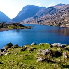
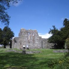
Local stories connect these mountains to the warrior Fionn MacCumhail, whose legend shaped the place's identity in the region's tradition. Such tales still influence how people see and speak about this landscape today.

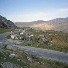
The range has several entry points, with parking available at Gortbue School during summer months for those planning to hike. The terrain is exposed and weather can change quickly, so proper preparation before visiting is important.

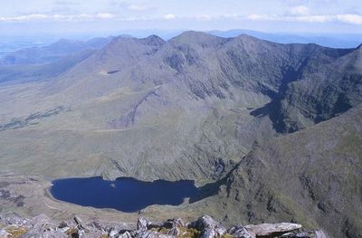
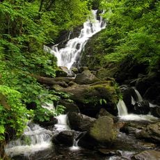
A route called the Devil's Ladder offers a direct path to the highest summit, threading through a steep gully carved by ancient glaciers. This geological formation reveals the powerful forces that reshaped the landscape over thousands of years.

The community of curious travelers

AroundUs brings together thousands of curated places, local tips, and hidden gems, enriched daily by 60,000 contributors worldwide.

Start exploring
Location
Elevation above the sea
1,038.6 m
Made from material
sandstone
GPS coordinates
52.01000,-9.70000
Latest update
December 7, 2025 10:05
Reviews
Share your experience

No review yet

Discussions
Start a discussion...

No discussion yet

« MacGillycuddy's Reeks - Mountain range in County Kerry, Ireland » is provided by Around Us (aroundus.com). Images and texts are derived from Wikimedia project under a Creative Commons license. You are allowed to copy, distribute, and modify copies of this page, under the conditions set by the license, as long as this note is clearly visible.

Discover hidden gems everywhere you go!

From secret cafés to breathtaking viewpoints, skip the crowded tourist spots and find places that match your style. Our app makes it easy with voice search, smart filtering, route optimization, and insider tips from travelers worldwide. Download now for the complete mobile experience.

Around Us App Screenshot

A unique approach to discovering new places

Le Figaro

All the places worth exploring

France Info

A tailor-made excursion in just a few clicks

20 Minutes

Around Us
Travel Guide & Maps
Download

Send to your phone

QR Code
1

Open the camera app on your mobile.

2

Point at the QR code with your camera. A notification will appear.

3

Tap the notification to open the link.