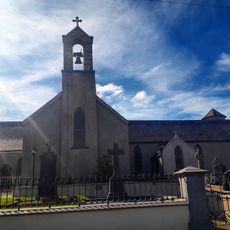
Castlecomer Plateau, Elevated limestone formation in North Kilkenny, Ireland
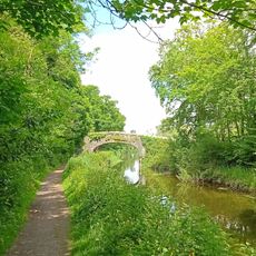
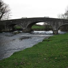
Castlecomer Plateau is an elevated limestone formation in North Kilkenny that spreads between the valleys of the Barrow and Nore rivers, reaching about 334 meters at its highest point. The terrain is marked by heavy wet soils that challenge farming but support extensive coniferous forests.
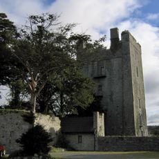
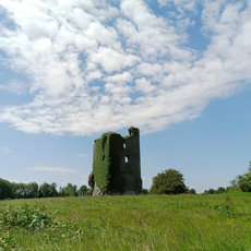
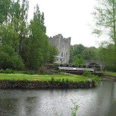
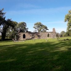
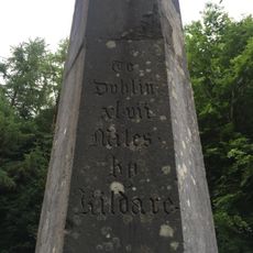
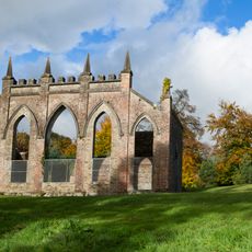
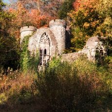
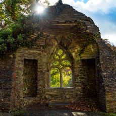
The plateau contains Norman structures from 1171, including a motte built by William Marshal that marks the establishment of Anglo-Norman control in the region. These early fortifications show the area's strategic importance during medieval expansion.
The area developed distinct traditions shaped by Yorkshire settlers who arrived in the 17th century and brought their mining and forestry practices with them. These communities left marks on local customs and how people worked the land.
The area experiences cooler temperatures year-round, and visitors should prepare for damp conditions, especially when exploring the wooded sections. The extensive forests offer good walking routes, but weatherproof clothing helps make exploration more comfortable.
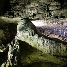
The plateau holds one of Ireland's rare coal deposits, which created an industrial heritage similar to mining regions in northern England. The extraction work shaped the landscape so distinctly that traces of this activity remain visible in the terrain today.
The community of curious travelers
AroundUs brings together thousands of curated places, local tips, and hidden gems, enriched daily by 60,000 contributors worldwide.