
Tinryland, townland in Kellistown, County Carlow, Ireland
Location: Kellistown
Location: County Carlow
Elevation above the sea: 57 m
GPS coordinates: 52.79578,-6.89598
Latest update: May 31, 2025 13:43
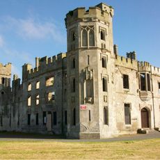
Ducketts Grove
8.9 km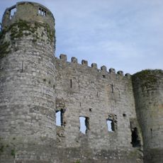
Carlow Castle
5.3 km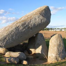
Brownshill Dolmen
4.8 km
Cathedral of the Assumption of Blessed Virgin Mary
5.1 km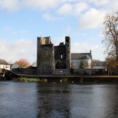
Leighlinbridge Castle
8.7 km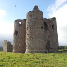
Ballyloughan Castle
9.4 km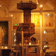
Carlow County Museum
5 km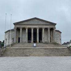
Carlow Courthouse
5.3 km
County Carlow Military Museum
5.7 km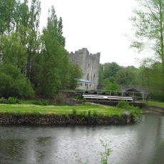
Milford Mills, County Carlow
5 km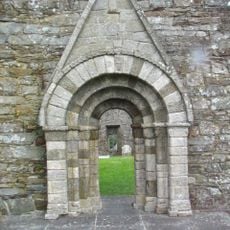
Killeshin Church
9.1 km
Castlemore Moat
8.4 km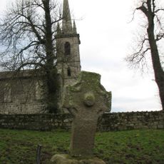
Nurney Cross
5 km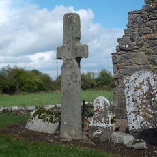
Sleaty Church
7.6 km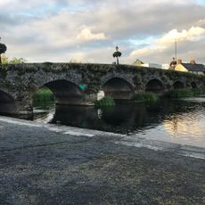
Leighlinbridge Bridge
8.6 km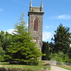
St John's Church
4.7 km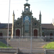
St Patrick's Church
8.2 km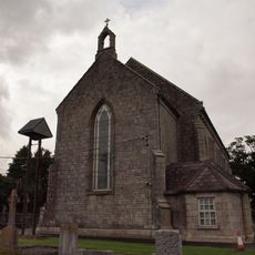
St Mary's Church
4.2 km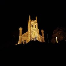
Church of the Holy Cross
8.9 km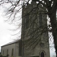
Urglin Church
5.8 km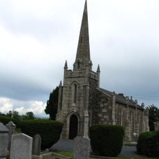
Staplestown Church
2.2 km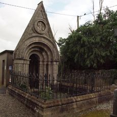
O'Meara Monument
4.2 km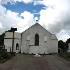
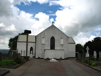
St. Joseph's Church
65 m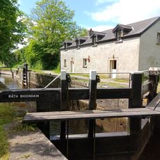
Rathvinden Lock No. 8
7.7 km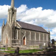
Killeshin Church
5.9 km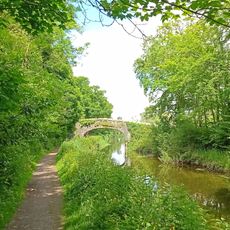
Milford Bridge
4.9 km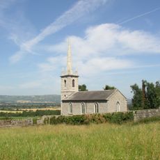
St John's Church
5 km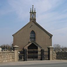
Grange Church
8.9 kmVisited this place? Tap the stars to rate it and share your experience / photos with the community! Try now! You can cancel it anytime.
Discover hidden gems everywhere you go!
From secret cafés to breathtaking viewpoints, skip the crowded tourist spots and find places that match your style. Our app makes it easy with voice search, smart filtering, route optimization, and insider tips from travelers worldwide. Download now for the complete mobile experience.

A unique approach to discovering new places❞
— Le Figaro
All the places worth exploring❞
— France Info
A tailor-made excursion in just a few clicks❞
— 20 Minutes