
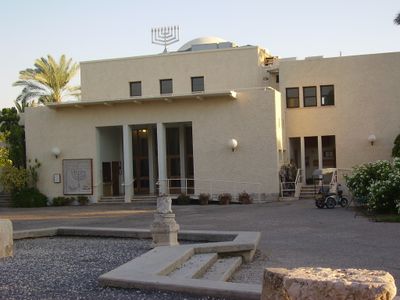
Tirat Zvi, human settlement
Location: Valley of Springs Regional Council
Inception: 1937
Website: http://www.tiratzvi.org.il
Website: http://tiratzvi.org.il
GPS coordinates: 32.42194,35.52833
Latest update: April 17, 2025 04:42
Gan HaShlosha National Park
12 km
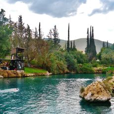
Jordan River Crossing
9.5 km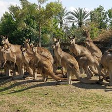
Gan Guru
12.2 km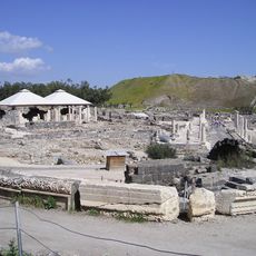
Bet Shean National Park
9.3 km
Rehov
5 km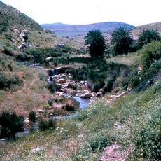
Ḩammām al Māliḩ
11.3 km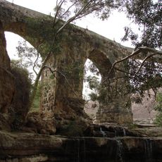
Kantara Bridge in Nahal Harod
11 km
Beit She'an
9.5 km
Burj el Maleh
12.4 km
Beit She'an former Railway Station
10.6 km
Pella
8.7 km
Tel Zahara
12.3 km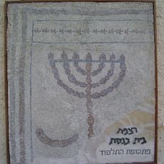
תל מנורה
582 m
Mount Malkishua
10.6 km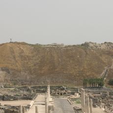
Tel Bet She'an
9.4 km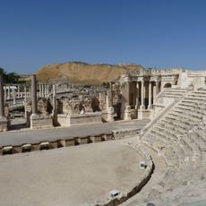
Roman theatre of Scythopolis
9.2 km
Al Māliḩ
12.2 km
Al Muţillah
11.3 km
Ra's Ḩammādah
12.7 km
‘Irāq al Mawbarah
12 km
Qanyon HaBezzelet
9.4 km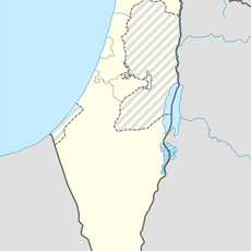
‘Irq al Mardūm
10 km
Ra's as Sālimah
14.1 km
Maghārat al Ma‘āzī
7.7 km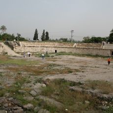
Scythopolis amphitheatre
9 km
Al Fārisīyah
9 km
Ra's Ḩumayyir
7.1 km
Qanāt al Ma‘jamah
3.2 kmReviews
Visited this place? Tap the stars to rate it and share your experience / photos with the community! Try now! You can cancel it anytime.
Discover hidden gems everywhere you go!
From secret cafés to breathtaking viewpoints, skip the crowded tourist spots and find places that match your style. Our app makes it easy with voice search, smart filtering, route optimization, and insider tips from travelers worldwide. Download now for the complete mobile experience.

A unique approach to discovering new places❞
— Le Figaro
All the places worth exploring❞
— France Info
A tailor-made excursion in just a few clicks❞
— 20 Minutes