
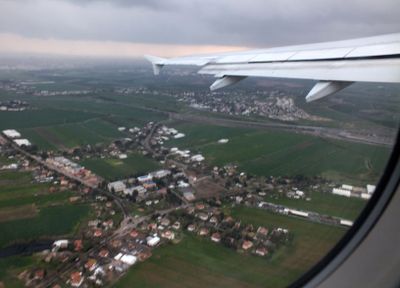
Tzafria, village in Israel
Location: Sdot Dan Regional Council
Inception: 1949
Elevation above the sea: 33 m
Shares border with: Kfar Chabad
GPS coordinates: 32.00320,34.85580
Latest update: March 9, 2025 02:34
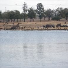
Ramat Gan Safari
5.5 km
Ariel Sharon Park
4 km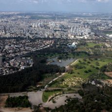
Ramat Gan National Park
5.9 km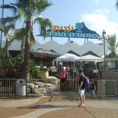
Yamit 2000
5.9 km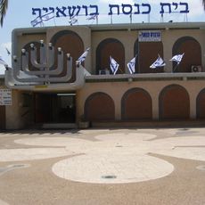
Bushaif Synagogue
4.6 km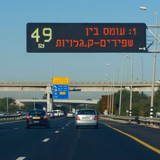
Express Line Highway 1
1.5 km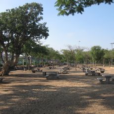
Peres park
5.4 km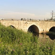
Jisr Jindas
5.7 km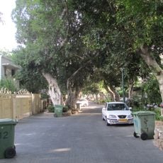
Tel Litvinsky
5.7 km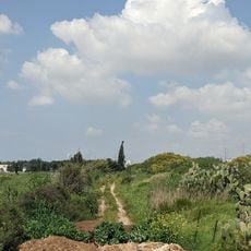
Tel Bnei Brak
4.9 km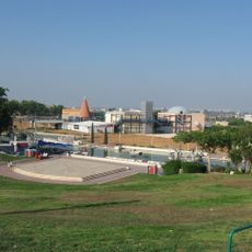
Holon Children's Museum
5.5 km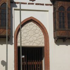
The babylonian jewry heritage center
2.5 km
The Security Road
6 km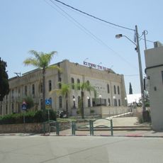
Beit Menachem synagogue, kfar chabad
1.4 km
Mahane Yisrael
5.1 km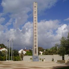
Israeli Signal Corps memorial (Yehud)
5.1 km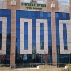
The Charedi Campus - The Academic College Ono
2.1 km
Man and Life Museum, Ramat Gan
5.7 km
Ben-Gurion International Airport Garden
1.4 km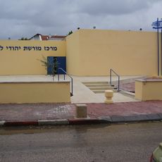
Lybian Jewish Heritage Museum
3.1 km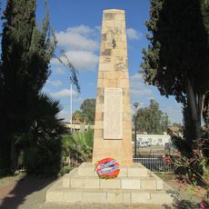
42th battalion memorials in Tzrifin
4.9 km
The Cube
5.8 km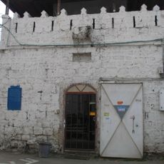
המצדית העות'מאנית (מחלף השבעה)
4.2 km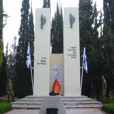
Tel Hashomer war memorial
5.2 km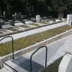
Rishon leZion Military Cemetery
5.3 km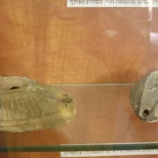
Azor Museum
5.3 km
Nachshon Wachsman and Nir Poraz memorial
4.8 km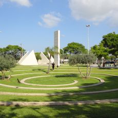
Ohel
5 kmReviews
Visited this place? Tap the stars to rate it and share your experience / photos with the community! Try now! You can cancel it anytime.
Discover hidden gems everywhere you go!
From secret cafés to breathtaking viewpoints, skip the crowded tourist spots and find places that match your style. Our app makes it easy with voice search, smart filtering, route optimization, and insider tips from travelers worldwide. Download now for the complete mobile experience.

A unique approach to discovering new places❞
— Le Figaro
All the places worth exploring❞
— France Info
A tailor-made excursion in just a few clicks❞
— 20 Minutes