
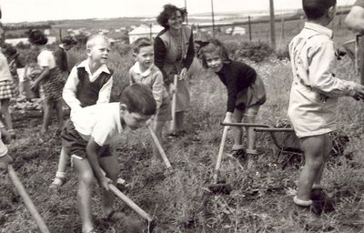
Ein Vered, human settlement in Israel
Location: Lev HaSharon Regional Council
Inception: 1930
Elevation above the sea: 65 m
Website: http://ein-vered.com
GPS coordinates: 32.26550,34.93340
Latest update: March 7, 2025 13:19
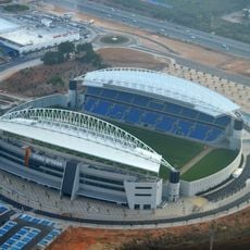
Netanya Stadium
7.2 km
Tzur Yitzhak
6.6 km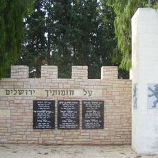
Tzur Moshe
4.1 km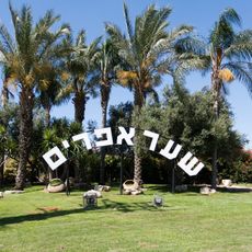
Sha'ar Efraim
6.6 km
Beit Yehoshua
6.6 km
Tsofit
8.1 km
צורן
2.7 km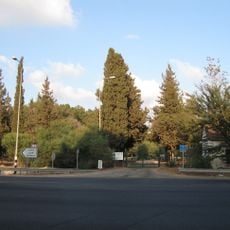
Shemurat Ilanot
4.3 km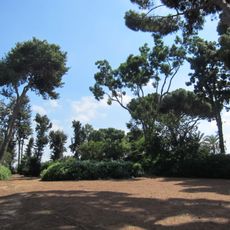
Baron de Menashe Garden, Kfar Saba
8.4 km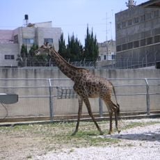
Qalqilya Zoo
8.6 km
Maśuʼah
6.1 km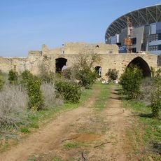
Bayyarat Hannun
7.4 km
Beit Lid Immigration Camp
6 km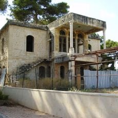
Nablusi House
5.1 km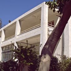
Villa Sieff
2.3 km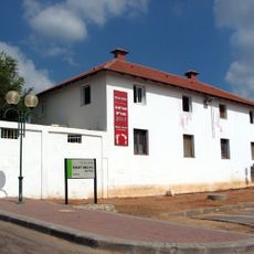
Kalmania
7.4 km
Sholem Bridge
7.4 km
Bnei Zion nature reserve
8.7 km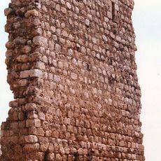
El-Bouraj
7.2 km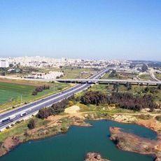
Gesher Hahdot
8.2 km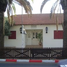
Beit HaLord, Tel Mond
2.1 km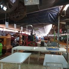
מוזיאון הטרקטור
749 m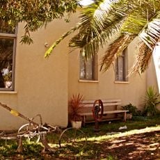
מוזיאון הראשונים
4.5 km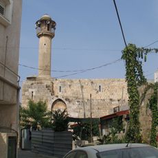
Calanson
5.2 km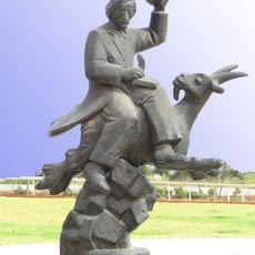
Statue of Sholom Aleichem in Netanya
7.8 km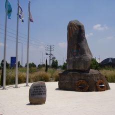
Memorial to the Fallen of the 5th Brigade (1967)
8.1 km
Tel Mond Library
2 km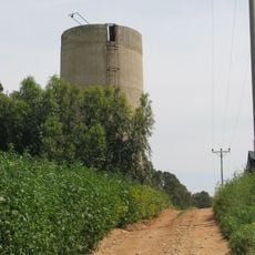
Ilanot water tower
4.3 kmVisited this place? Tap the stars to rate it and share your experience / photos with the community! Try now! You can cancel it anytime.
Discover hidden gems everywhere you go!
From secret cafés to breathtaking viewpoints, skip the crowded tourist spots and find places that match your style. Our app makes it easy with voice search, smart filtering, route optimization, and insider tips from travelers worldwide. Download now for the complete mobile experience.

A unique approach to discovering new places❞
— Le Figaro
All the places worth exploring❞
— France Info
A tailor-made excursion in just a few clicks❞
— 20 Minutes