Enable Location

We need your location to show you interesting places around you

Discover nearby places

Find interesting locations and hidden gems around you

Precise directions

Get accurate directions and distances to places

Your location is never shared with other users. It's only used when you tap the location button.

Beit Hashmonay

Log in to your account

Start exploring — it's free

Trusted by 62,024 travelers worldwide

Continue with Google
Continue with Apple
or

We will send you a code to connect

By continuing, you accept our Terms and Conditions and our Privacy Policy

Check your inbox

We've sent a pincode in your inbox. Please enter the code below.

Beit Hashmonay

Beit Hashmonay, Community settlement in Gezer Regional Council, Israel.

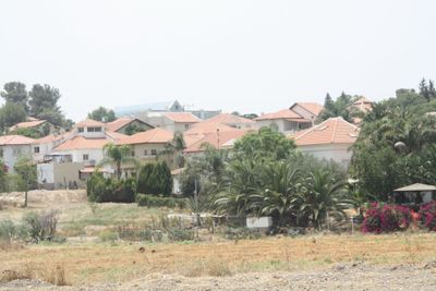
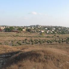
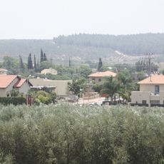
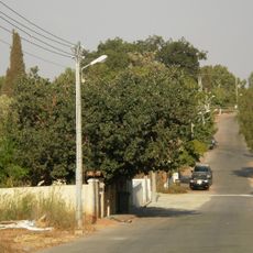
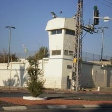
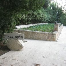
Beit Hashmonay is a community settlement in the Gezer Regional Council in central Israel, located roughly five kilometers southeast of Ramla. It serves as an important administrative center for the surrounding region.

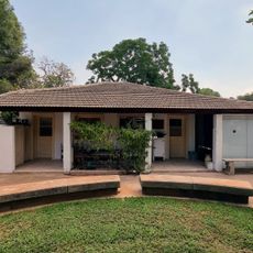
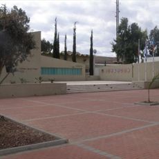
The settlement was founded in 1972 by the Jewish Agency as a residential community for teachers at the nearby Ayalon School. It later became an administrative hub when the Gezer Regional Council moved its offices there in 1987.

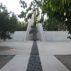
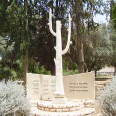
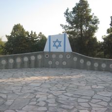
The name comes from Simon Maccabaeus, a leader from the ancient Hasmonean dynasty whose presence shaped the region's history. This naming choice reflects a connection to deeper historical roots.

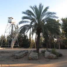
The area is easily accessible and sits at an elevated position with good views of the surroundings. Keep in mind this is primarily a residential and administrative area, so public facilities are limited.

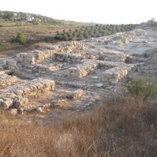
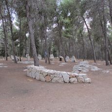
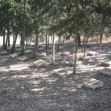
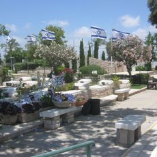
The location is part of a layered territorial past, as the land held different identities before becoming what it is today. This history remains woven into discussions about the region and its future.

The community of curious travelers

AroundUs brings together thousands of curated places, local tips, and hidden gems, enriched daily by 60,000 contributors worldwide.

Start exploring
Inception
1972
Elevation above the sea
113 m
GPS coordinates
31.89050,34.91610
Latest update
December 10, 2025 16:01
« Beit Hashmonay - Community settlement in Gezer Regional Council, Israel » is provided by Around Us (aroundus.com). Images and texts are derived from Wikimedia project under a Creative Commons license. You are allowed to copy, distribute, and modify copies of this page, under the conditions set by the license, as long as this note is clearly visible.

Discover hidden gems everywhere you go!

From secret cafés to breathtaking viewpoints, skip the crowded tourist spots and find places that match your style. Our app makes it easy with voice search, smart filtering, route optimization, and insider tips from travelers worldwide. Download now for the complete mobile experience.

Around Us App Screenshot

A unique approach to discovering new places

Le Figaro

All the places worth exploring

France Info

A tailor-made excursion in just a few clicks

20 Minutes

Around Us
Travel Guide & Maps
Download

Send to your phone

QR Code
1

Open the camera app on your mobile.

2

Point at the QR code with your camera. A notification will appear.

3

Tap the notification to open the link.