
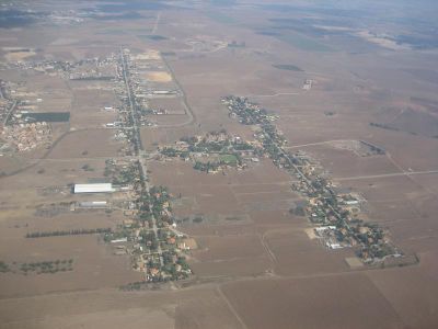
Hof Ashkelon Regional Council, place in Israel
Location: Ashkelon Subdistrict
Inception: 1950
Capital city: Bat Hadar
GPS coordinates: 31.71700,34.63300
Latest update: March 12, 2025 18:05
Ad Halom
8 km
Nitzan
2.2 km
Be'er Ganim
3 km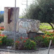
Kfar Warburg
8.5 km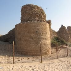
Ashdod-Sea
7.1 km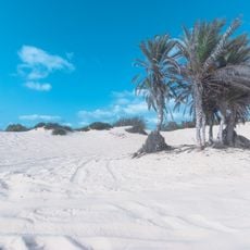
Nitzanim Nature Reserve
2.5 km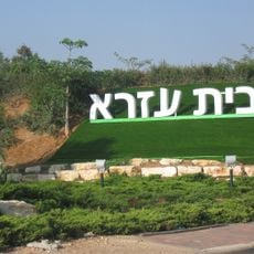
Beit Ezra
3.1 km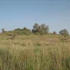
Tel Ashdod
7.1 km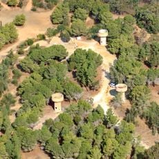
Hill 69
1.9 km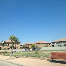
Bat Hadar
8.5 km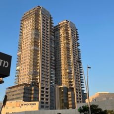
K Towers
8.7 km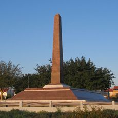
Egypt army memorials in Israel
7.9 km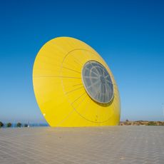
The Eye of the Sun
6.2 km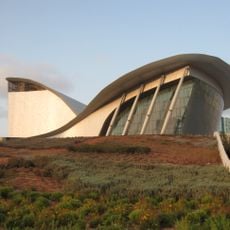
Ashdod Performing Arts Center
8.4 km
Nitzan Bet
2.1 km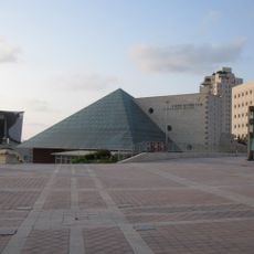
Ashdod Museum of Art
8.3 km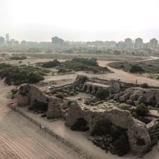
Kal'at Al Mina
7.1 km
Negba Open Air Museum
7.8 km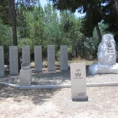
IDF 53rd Battalion Memorial
5.5 km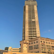
Dimri Tower
8.6 km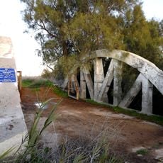
The Arcs bridge over Lachish stream
7.4 km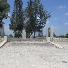
IDF 51st Battalion Memorial
7 km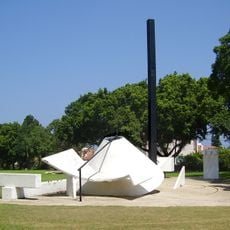
Sundial Garden
7.7 km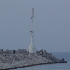
Ashkelon Marina Breakwater Light
8.1 km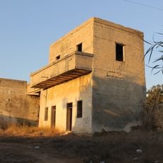
Sebil House
4.7 km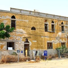
Beit Amidim
6.8 km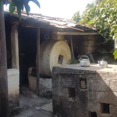
בית ערוסי
6.8 km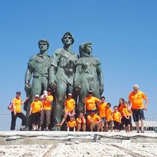
Kibbutz Negba Memorial Museum
7.7 kmReviews
Visited this place? Tap the stars to rate it and share your experience / photos with the community! Try now! You can cancel it anytime.
Discover hidden gems everywhere you go!
From secret cafés to breathtaking viewpoints, skip the crowded tourist spots and find places that match your style. Our app makes it easy with voice search, smart filtering, route optimization, and insider tips from travelers worldwide. Download now for the complete mobile experience.

A unique approach to discovering new places❞
— Le Figaro
All the places worth exploring❞
— France Info
A tailor-made excursion in just a few clicks❞
— 20 Minutes