Jebel Adathir, Summit in northern Israel
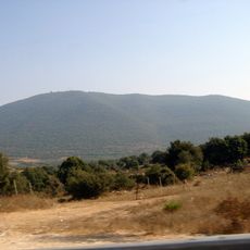
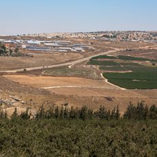
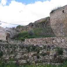
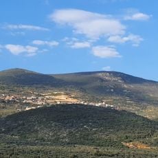
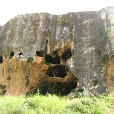
Jebel Adathir, also called Har Adir, is a mountain in the Upper Galilee within the Har Meron Nature Reserve, near Sasa, Mattat and Hurfeish. It rises to 1,008 metres and is covered with dense Mediterranean scrub of oak, terebinth, hawthorn and Judas tree. On its slope are the remains of an Iron Age fortress, probably built by the Omride dynasty of the Kingdom of Israel.
Jebel Adathir holds the remains of an Iron Age fortress, probably built by the Omride dynasty of the Kingdom of Israel. In 2006 the area was a front line in the Second Lebanon War; the lookout on the slope was inaugurated on 3 July 2012, a year after the war's anniversary, at the request of bereaved families.
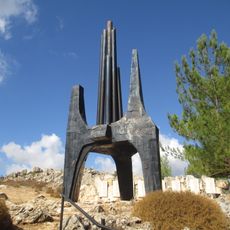
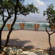
The Hebrew name Har Adir comes from Isaiah 2:13, "the Lebanon shall fall by the Mighty One," a reference to the mountain's view over Lebanon. The Arabic name is Jebel Adathir. On the summit's edge, families of soldiers killed in the 2006 Lebanon War raised a lookout, inaugurated on 3 July 2012, with a wooden deck for 180 visitors and metal panels engraved with the names of 121 fallen soldiers.
The summit itself is closed to visitors because of the Israeli military base and its antennas on top. The lookout is reached only on foot, about five minutes along a dirt path from the parking area beside the base; the paved road does not reach it. The wooden platform holds 180 visitors.
The summit itself is closed: an Israeli military base with numerous antennas occupies it, visible from far away. Visitors instead reach the Har Adir lookout, a wooden platform for 180 people inaugurated on 3 July 2012, whose railing carries maps, explanations of the 2006 Lebanon War and the names of 121 fallen soldiers.
The community of curious travelers
AroundUs brings together thousands of curated places, local tips, and hidden gems, enriched daily by 94,190 contributors worldwide.