Enable Location

We need your location to show you interesting places around you

Discover nearby places

Find interesting locations and hidden gems around you

Precise directions

Get accurate directions and distances to places

Your location is never shared with other users. It's only used when you tap the location button.

Ramanathapuram district

Log in to your account

Start exploring — it's free

Trusted by 61,824 travelers worldwide

Continue with Google
Continue with Apple
or

We will send you a code to connect

By continuing, you accept our Terms and Conditions and our Privacy Policy

Check your inbox

We've sent a pincode in your inbox. Please enter the code below.

Ramanathapuram district

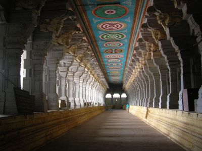
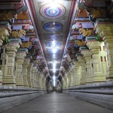
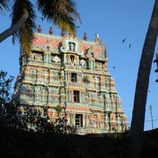
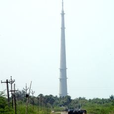
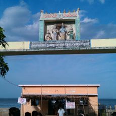
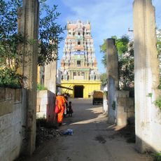
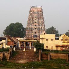
Ramanathapuram district, Administrative district in Tamil Nadu, India

Description

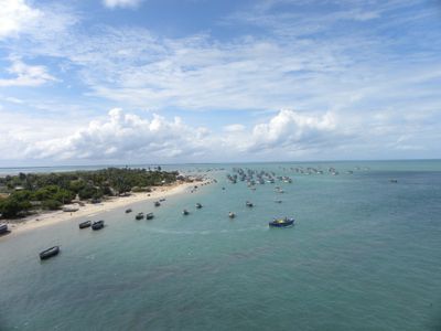
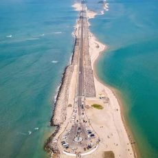
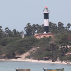
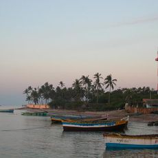
Ramanathapuram is an administrative district in southern Tamil Nadu that stretches along the coast and includes small fishing settlements. The flat land consists of sandy soils with palm groves and open fields that reach toward the Gulf of Mannar.

History

Under British rule the area belonged to the Madras Presidency and administered the coastal region until independence. After 1947 the territory became part of the new state of Tamil Nadu and received its current structure.

Culture

Fishermen rely on the sea for their livelihood and speak Tamil as the main language in their coastal settlements. Traditional nets and boats are still crafted and repaired at the harbor following inherited patterns.

Practical

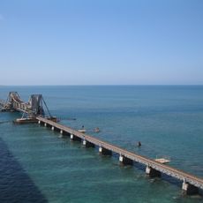
Buses run regularly from larger towns in the region and bring travelers to the main settlements across the district. Ramanathapuram railway station sits on a branch line and is served by regional trains coming from Madurai.

Did you know?

In the shallow waters off the coast pearl diving still takes place today, with fishermen using the same techniques as their ancestors. The breeding grounds in the Gulf of Mannar are considered one of the few places where this old practice has survived.

Location
Capital city
Ramanathapuram
Shares border with
Madurai
GPS coordinates
9.28044,77.43360
Latest update
December 13, 2025 19:53

AroundUs brings together thousands of curated places, local tips, and hidden gems, enriched daily by 60,000 contributors worldwide. Discover all places nearby (Tamil Nadu).

« Ramanathapuram district - Administrative district in Tamil Nadu, India » is provided by Around Us (aroundus.com). Images and texts are derived from Wikimedia project under a Creative Commons license. You are allowed to copy, distribute, and modify copies of this page, under the conditions set by the license, as long as this note is clearly visible.

Discover hidden gems everywhere you go!

From secret cafés to breathtaking viewpoints, skip the crowded tourist spots and find places that match your style. Our app makes it easy with voice search, smart filtering, route optimization, and insider tips from travelers worldwide. Download now for the complete mobile experience.

Around Us App Screenshot

A unique approach to discovering new places

Le Figaro

All the places worth exploring

France Info

A tailor-made excursion in just a few clicks

20 Minutes

Around Us
Travel Guide & Maps
Download

Send to your phone

QR Code
1

Open the camera app on your mobile.

2

Point at the QR code with your camera. A notification will appear.

3

Tap the notification to open the link.