Anantapuramu district, Administrative district in Andhra Pradesh, India
Anantapuramu is an administrative region in the southern state of Andhra Pradesh, covering a wide area with several urban centers and rural zones. The territory divides into many smaller administrative units, each containing towns, villages, and farming areas spread across open plains.
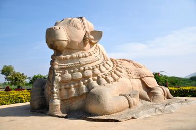
The region became a separate administrative unit in 1882 after being carved out from neighboring Bellary. Its name comes from an old water reservoir constructed during the Vijayanagara kingdom centuries earlier.
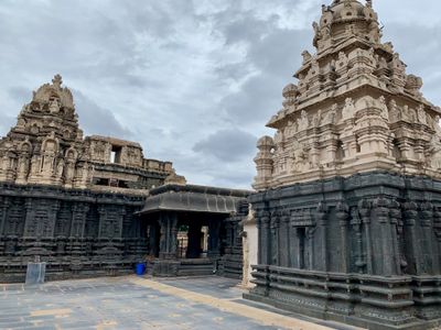
The population of 4,081,148 residents speaks primarily Telugu, with Hindu temples and Islamic institutions representing the main religious establishments in the communities.
National Highway 44 links the main towns and makes travel through the area straightforward. Two major railway junctions, Guntakal and Gooty, offer train connections in several directions across the region.
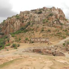
A medieval fortress sits on a hill near Gooty, showing traces of earlier military installations in the area. The region produces large amounts of groundnuts, which appear in many local markets and processing facilities.
The community of curious travelers
AroundUs brings together thousands of curated places, local tips, and hidden gems, enriched daily by 60,000 contributors worldwide.