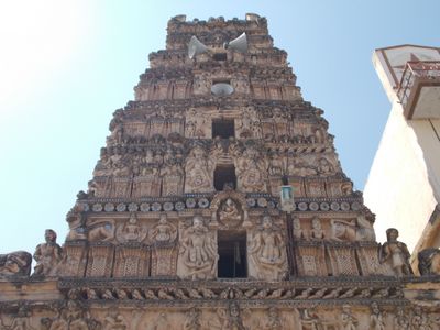
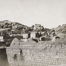
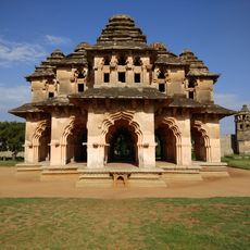
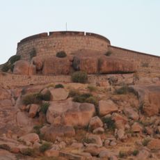
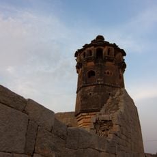
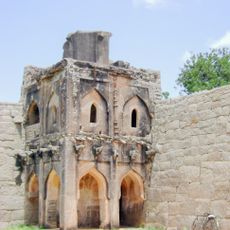
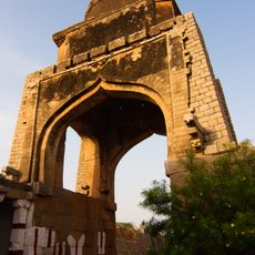
Rayadurg mandal, Administrative division in Anantapur District, India
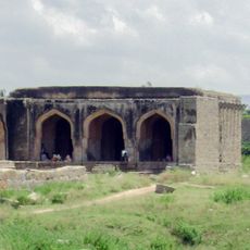
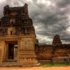
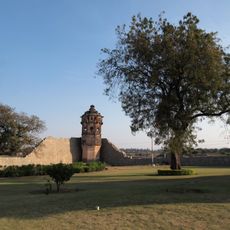
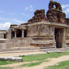
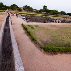
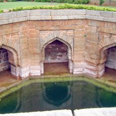
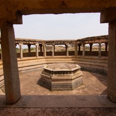
Rayadurg mandal is an administrative division within Anantapur District that encompasses various villages and settlements connected through local roads and pathways. The region features both developed areas and surrounding rural zones that form a cohesive local community.
The mandal administrative system was introduced in Andhra Pradesh as part of a decentralized governance structure to bring administration and resource management closer to local communities. This framework allowed for more efficient organization of services at the regional level.
The region maintains a population of 102,691 residents distributed among 20,939 households, representing diverse communities across 14 distinct villages.
The area is accessible through local roads that link the various villages and settlements together. Visitors should be prepared for local transportation options, as this is a primarily rural administrative region with limited larger infrastructure.
Located at an elevation of 543 meters, the mandal demonstrates a balanced urban-rural distribution with 61,749 urban residents and 40,942 rural inhabitants.
Location: Anantapur district
Capital city: Rayadurg
Elevation above the sea: 543 m
GPS coordinates: 14.69972,76.85250
Latest update: December 14, 2025 17:41
Chitradurga Fort
73.1 km
Lotus Mahal Pavilion
80.3 km
Bellary Fort
50.3 km
Daroji Sloth Bear Sanctuary
69.5 km
Chandravalli
74.2 km
Shri Guru Kottureshwara Temple
69.4 km
Jogimatti
77.3 km
Mounagiri Hanuman Temple
47 km
Anantapur clock tower
80.1 km
Chitradurga hill fortress & temples
73 km
Rayadurg Palace and Rama and Krishna temples
1.6 km
Hazara Rama temple
80.2 km
Pattabhirama Temple
78.3 km
Mosque in Dannaik's enclosure
80.3 km
Chanderasekara Temple
79.5 km
North Watch Tower in the Zenana Enclosure
80.5 km
I)Water Pavilion in Zenana Enclosureii) Guards House in Zenana Enclosure iii) Walls and Gateways of the Zenana Enclosure iv) Ranga Temple
80.2 km
Large Underground Temple
80.5 km
Gnanagitte Jaina Temple
79.3 km
Bhima's Gateway
79.1 km
Queen's Bath
79.6 km
Old Water Supply Scheme
79.6 km
Soolai Well
79.6 km
Octagonal Water Pavilion
80 km
Large Public Bath or Tank
79.8 km
Muhammadan Watch tower in Dannaik's Enclosure
80.5 km
Southeast Watch tower in Zenana Enclosre
80.3 km
Domed Gateway to the East of the Citadel
78.5 kmVisited this place? Tap the stars to rate it and share your experience / photos with the community! Try now! You can cancel it anytime.
Discover hidden gems everywhere you go!
From secret cafés to breathtaking viewpoints, skip the crowded tourist spots and find places that match your style. Our app makes it easy with voice search, smart filtering, route optimization, and insider tips from travelers worldwide. Download now for the complete mobile experience.
A unique approach to discovering new places❞
— Le Figaro
All the places worth exploring❞
— France Info
A tailor-made excursion in just a few clicks❞
— 20 Minutes