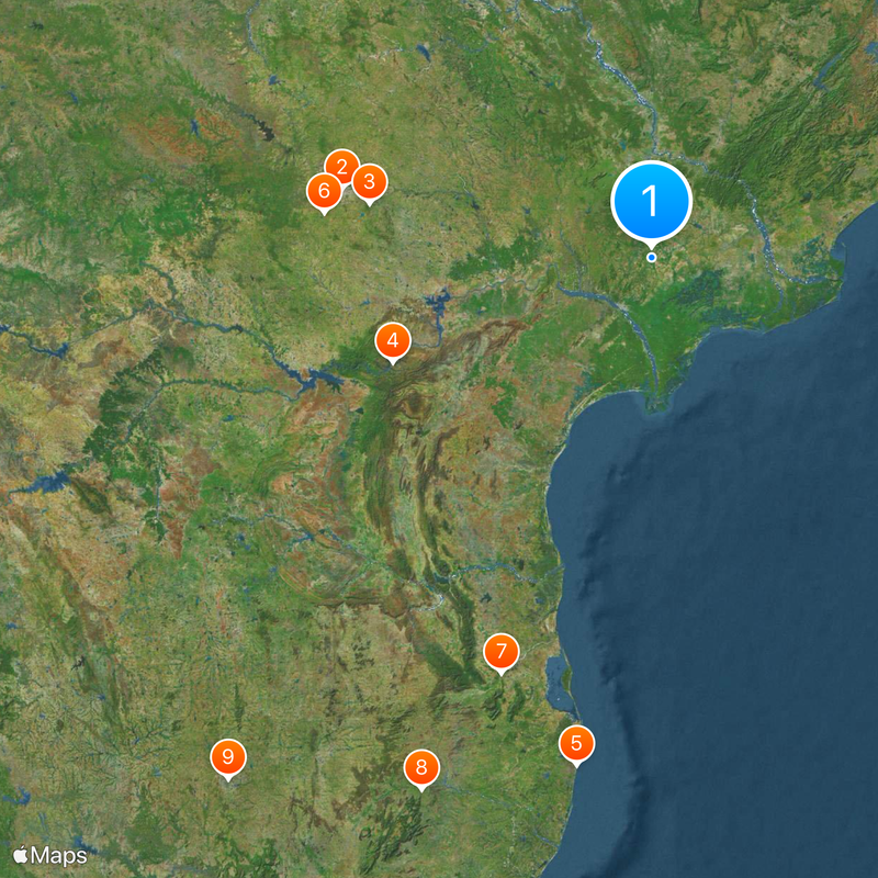
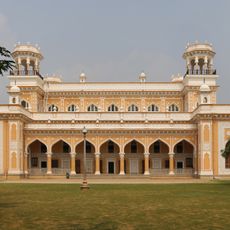
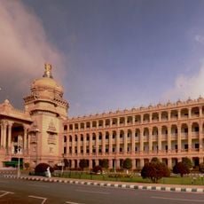
Andhra Pradesh, State in southeastern India
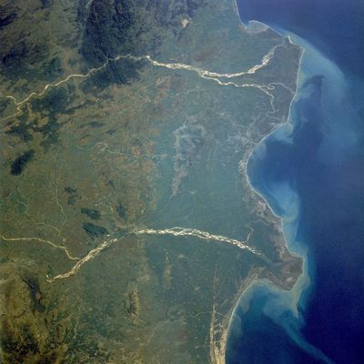
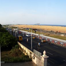
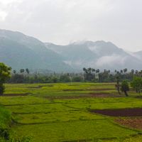
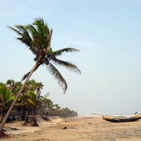
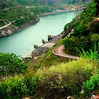
The territory stretches from the Bay of Bengal through fertile coastal plains to the Eastern Ghats mountain ranges in the western portion. Rivers including Krishna and Godavari cross the land, creating extensive delta regions. The coastline extends 605 miles (974 kilometers) with ports, fishing villages and urban centers.
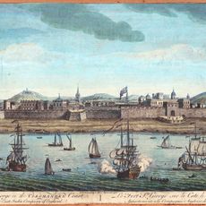
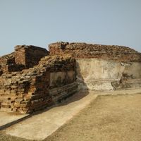
The region served as home to the Satavahana dynasty in the 3rd century BCE and later became part of Buddhist trading centers along the coast. The modern territory formed in 1956 as a language-based administrative unit for Telugu-speaking populations. Following Telangana's separation in 2014, Amaravati was designated as the capital.
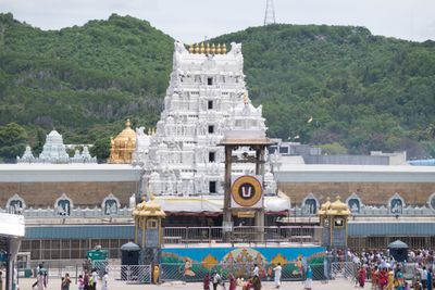
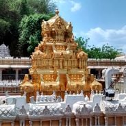
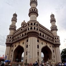
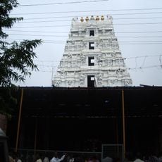
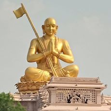
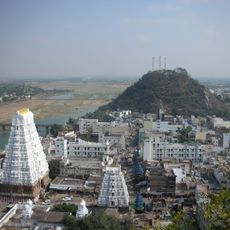
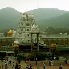
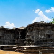
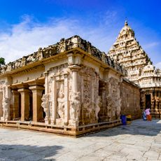
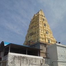
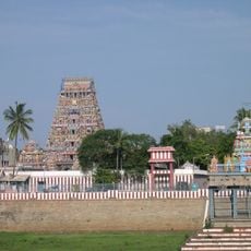
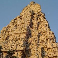
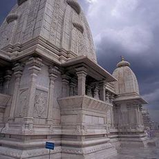
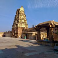
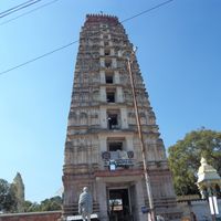
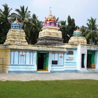
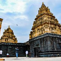
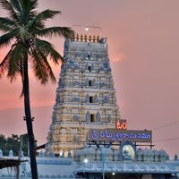
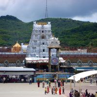
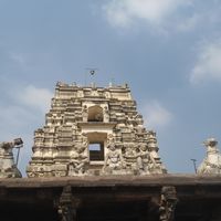
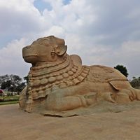
Telugu language forms the core of regional identity, expressed through classical literature, devotional music and Kuchipudi dance performances held in temples and cultural centers throughout 26 administrative districts. Hindu traditions shape daily life, complemented by Buddhist sites and major pilgrimage centers including Tirupati.
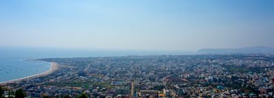
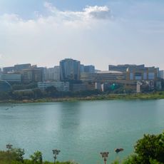
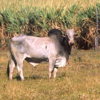
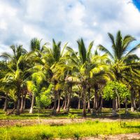
The region connects through airports in Visakhapatnam, Vijayawada and Tirupati, with rail links along the eastern coast. October through March offers comfortable temperatures for visits. Visakhapatnam serves as an industrial and technology center, while extensive rice cultivation dominates rural areas. Accommodation ranges from coastal cities to hill stations.
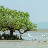
Limestone reserves constitute one third of India's total deposits, supplying cement plants nationwide. Araku Valley produces organic coffee sold internationally as a specialty product. Mangrove forests in the Krishna delta provide protected habitats for migratory birds and endangered sea turtles during nesting season.
The community of curious travelers
AroundUs brings together thousands of curated places, local tips, and hidden gems, enriched daily by 60,000 contributors worldwide.