Nandyal district, Administrative district in Rayalaseema region, Andhra Pradesh, India
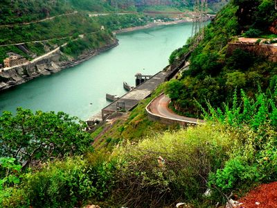
Nandyal district is an administrative area in the Rayalaseema region situated between mountain ranges that define its eastern and western edges. The landscape consists mainly of farmland where crops like cotton and groundnuts are grown across numerous settlements.
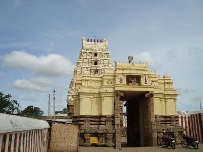
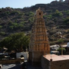
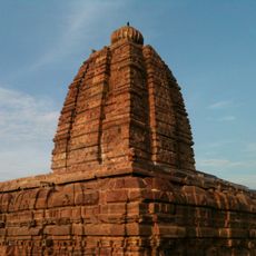
The area was named after a medieval ruler who built an important temple here during the 1300s. This connection to a single founder figure has remained central to local identity.
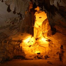
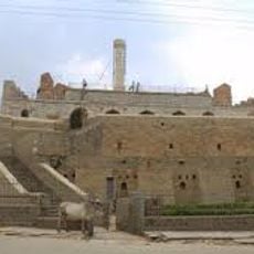
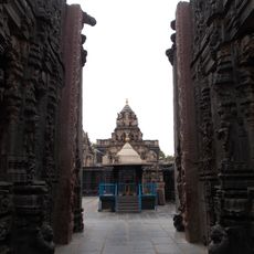
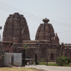
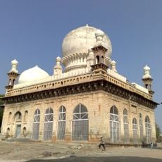
The region's religious life centers on temples and shrines that draw worshippers throughout the year. Local people maintain spiritual practices that shape daily routines and mark important seasonal celebrations.
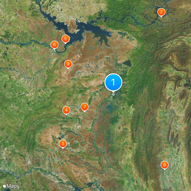
The district spans multiple administrative divisions, making it useful to plan visits around specific towns and areas. Main towns like Nandyal city or Atmakur serve as convenient hubs for exploring the region.
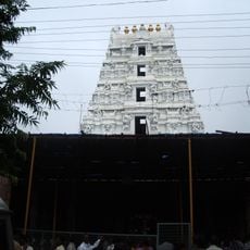
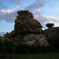
One temple in the region houses a stone statue believed to grow very slowly over the decades. This unusual feature has been documented by researchers and draws curious visitors who want to see it.
The community of curious travelers
AroundUs brings together thousands of curated places, local tips, and hidden gems, enriched daily by 60,000 contributors worldwide.