Enable Location

We need your location to show you interesting places around you

Discover nearby places

Find interesting locations and hidden gems around you

Precise directions

Get accurate directions and distances to places

Your location is never shared with other users. It's only used when you tap the location button.

Chittoor district

Log in to your account

Start exploring — it's free

Trusted by 61,601 travelers worldwide

Continue with Google
Continue with Apple
or

We will send you a code to connect

By continuing, you accept our Terms and Conditions and our Privacy Policy

Check your inbox

We've sent a pincode in your inbox. Please enter the code below.

Chittoor district

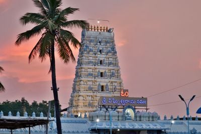
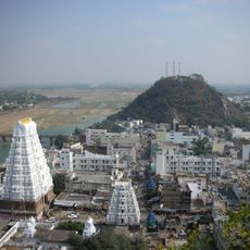
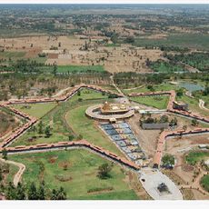
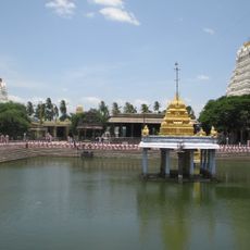
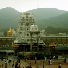
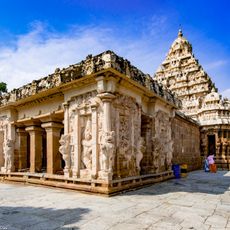
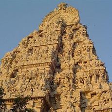
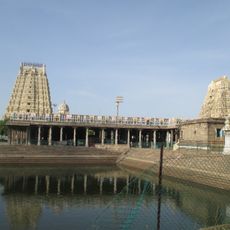
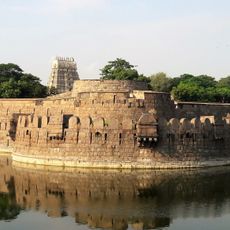
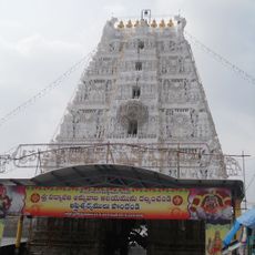
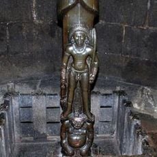
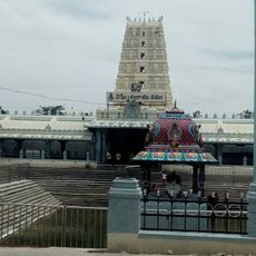
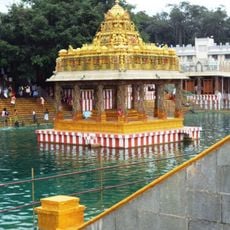
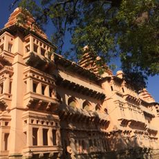
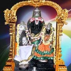
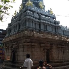
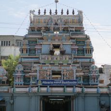
Chittoor district, Administrative district in Andhra Pradesh, India.

Description

Chittoor district is an administrative unit in southern Andhra Pradesh that extends across flat farmland and gentle hills. The area comprises 32 administrative units, all coordinated from the city of the same name.

History

The formation took place in 1911 when several districts from what was then North Arcot were merged with areas from Kadapa. This reorganization followed colonial administrative reforms and remained largely intact after independence.

Culture

The harvest is celebrated each year with a festival lasting several days, during which families prepare sweet rice dishes and decorate their doorsteps with colored powder patterns. Visitors can witness traditional dances in many villages, accompanied by drum music that expresses gratitude for the crops from the fields.

Practical

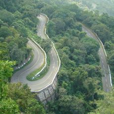
Major towns are linked by regular buses and trains, making travel between the larger cities straightforward. Visitors should carry cash, as smaller settlements have few automated teller machines.

Did you know?

The region leads mango harvests in the state and supplies several varieties known throughout India. During harvest time between April and June, markets fill with fresh fruit whose sweet scent drifts through the streets.

Location
Capital city
Chittoor
Shares border with
Anantapuramu district, YSR district
GPS coordinates
13.21622,79.09970
Latest update
December 12, 2025 22:55

AroundUs brings together thousands of curated places, local tips, and hidden gems, enriched daily by 60,000 contributors worldwide. Discover all places nearby (Andhra Pradesh).

« Chittoor district - Administrative district in Andhra Pradesh, India » is provided by Around Us (aroundus.com). Images and texts are derived from Wikimedia project under a Creative Commons license. You are allowed to copy, distribute, and modify copies of this page, under the conditions set by the license, as long as this note is clearly visible.

Discover hidden gems everywhere you go!

From secret cafés to breathtaking viewpoints, skip the crowded tourist spots and find places that match your style. Our app makes it easy with voice search, smart filtering, route optimization, and insider tips from travelers worldwide. Download now for the complete mobile experience.

Around Us App Screenshot

A unique approach to discovering new places

Le Figaro

All the places worth exploring

France Info

A tailor-made excursion in just a few clicks

20 Minutes

Around Us
Travel Guide & Maps
Download

Send to your phone

QR Code
1

Open the camera app on your mobile.

2

Point at the QR code with your camera. A notification will appear.

3

Tap the notification to open the link.