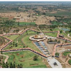
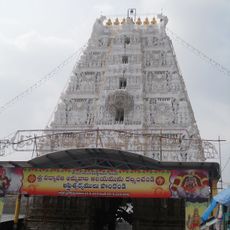
Bangarupalem mandal, Administrative mandal in Chittoor district, India
Bangarupalem mandal is an administrative subdivision in Chittoor district that spans several hundred square kilometers and encompasses 29 villages across its territory. The region consists mainly of rural settlements and agricultural land organized under a formal administrative structure.
This area was established in 1985 when regional government underwent administrative reforms to reorganize local governance. The changes were part of broader restructuring efforts aimed at making administration more localized and decentralized.
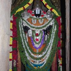
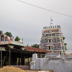
Telugu is the language spoken by residents, and traditional farming methods remain central to how people work the land and organize their communities. Local village councils make decisions that affect daily life and connect families to broader governance structures.
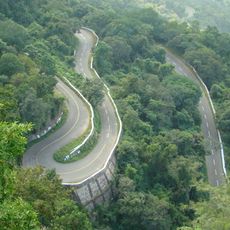
The region borders Tamil Nadu and connects several neighboring areas within the district through local roads. Traveling between villages is easier with your own transportation, as public connections between settlements can be limited.
The area operates under its own vehicle registration system, which allows identification of vehicles registered within this administrative zone. This local registration scheme reflects the formal administrative organization of the territory.
The community of curious travelers
AroundUs brings together thousands of curated places, local tips, and hidden gems, enriched daily by 60,000 contributors worldwide.