Chittoor mandal, Administrative division in Chittoor district, Andhra Pradesh, India
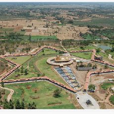
This administrative region encompasses multiple villages and towns in the Chittoor area, with the city of Chittoor functioning as its administrative hub. The territory spreads across agricultural lands and settled areas connected by road networks that link it to surrounding regions.
The area was organized as an administrative unit during modern reforms in Andhra Pradesh, with Chittoor district established in 1911. This structure has shaped regional governance and continues to organize the territory today.
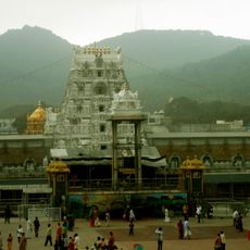
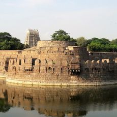
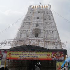
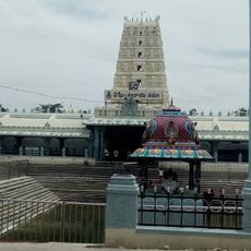
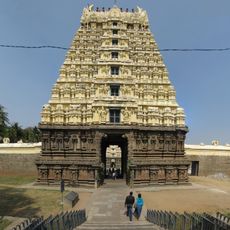
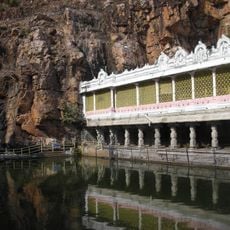
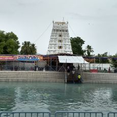
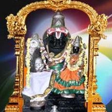
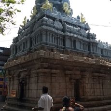
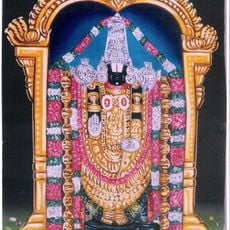
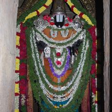
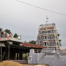
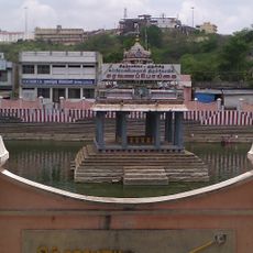
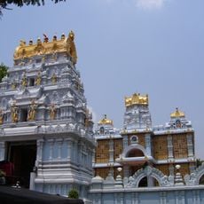
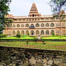
Hindu traditions deeply shape daily life here, with temples serving as central meeting places where people gather for both spiritual and social occasions. Visitors can observe how these traditions remain woven into everyday routines and community decisions.
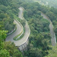
The region is accessible by road, allowing visitors to travel between various villages and the main city. It helps to use local transportation options or check road conditions before planning movement across the territory.
The area is known for growing peanuts and chillies, crops specifically adapted to the local climate and soil conditions. These harvests shape much of the landscape and form the backbone of how residents make their living.
Location: Chittoor district
Capital city: Chittoor
GPS coordinates: 13.21600,79.09700
Latest update: December 14, 2025 17:03
Lakshmi Narayani Golden Temple
38.2 km
Tirumala Venkateswara Temple
58.6 km
Vellore Fort
33 km
Padmavathi Temple, Tiruchanur
58.6 km
Ghat Roads
56 km
Kanipakam Vinayaka Temple
9.5 km
Chandragiri Fort
46.6 km
Govindaraja Temple, Tirupati
58.6 km
Jalakandeswarar Temple, Vellore
33 km
Kapila Theertham
58.6 km
Koundinya Wildlife Sanctuary
53.4 km
Mangapuram Venkatesvara Vishnu Temple
50.6 km
Lakshmi Narasimhar Temple, Narasinghapuram
33.6 km
Sri Venkateswara Zoological Park
54 km
Prasanna Venkateswara Temple
54.6 km
Amirthi Zoological Park
54 km
Thirukkadigai
23.2 km
Venkateswara Temple, Dwaraka Tirumala
58.6 km
Arulmigu Prasanna Venkatesa Perumal Temple
52.1 km
Ardhagiri
18.1 kmVenugopalaswamy Temple, Karvetinagaram
37 km
Koneti Rayala Swamy Temple
35.2 km
Jain Sculpture And Inscription
24.1 km
Vilwanatheswarar temple
31.6 km
Subramaniya Swamy Temple, Tiruttani
55.1 km
ISKCON Tirupati
57.6 km
Chandragiri Upper Fort
46.7 km
Chandragiri Lower Fort
46.6 kmVisited this place? Tap the stars to rate it and share your experience / photos with the community! Try now! You can cancel it anytime.
Discover hidden gems everywhere you go!
From secret cafés to breathtaking viewpoints, skip the crowded tourist spots and find places that match your style. Our app makes it easy with voice search, smart filtering, route optimization, and insider tips from travelers worldwide. Download now for the complete mobile experience.
A unique approach to discovering new places❞
— Le Figaro
All the places worth exploring❞
— France Info
A tailor-made excursion in just a few clicks❞
— 20 Minutes